Aoraki / Mount Cook National Park, National park in South Island, New Zealand
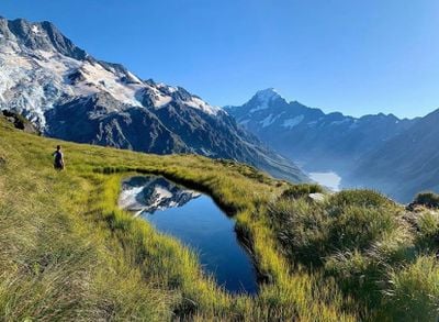
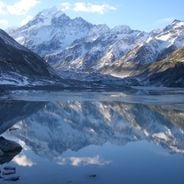
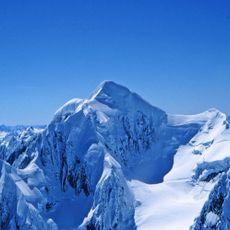
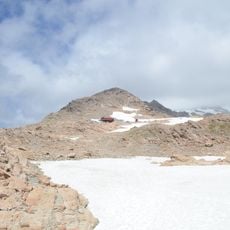
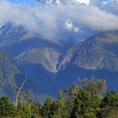
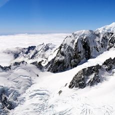
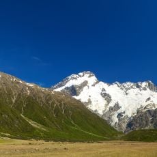
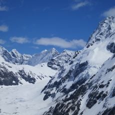
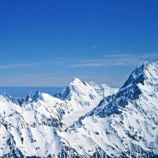
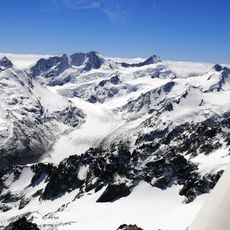
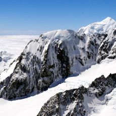
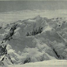
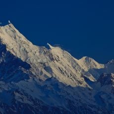
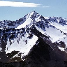
Aoraki / Mount Cook National Park is a large protected area in the Southern Alps on the South Island, featuring high peaks, glaciers, and deep valleys. The landscape rises sharply from lowlands to alpine terrain, with lakes, rivers, and ice fields spread across the region.
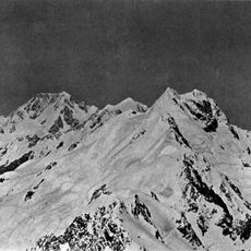
The mountain was first climbed on Christmas Day in 1894 by three mountaineers, marking a major achievement in New Zealand's exploration. The park was later created to protect the alpine environment and its glacial systems from development.
The mountain holds deep meaning for Ngai Tahu, the indigenous people, whose language and stories are woven into the landscape here. You can experience this connection by visiting cultural sites and learning how local communities relate to these lands.
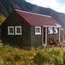
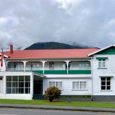
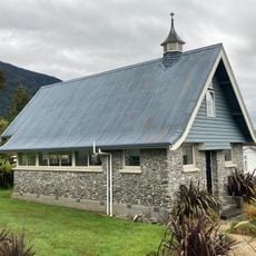
Mount Cook Village is the main hub for lodging and serves as the starting point for walks into valleys and to glaciers. The park is open year-round, though snow closes higher-altitude trails in winter, and the region experiences changeable weather.
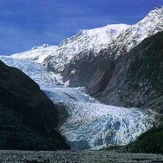
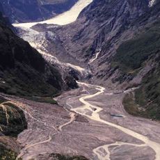
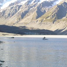
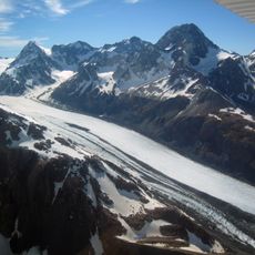
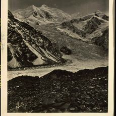
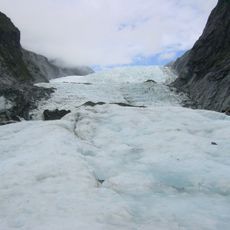
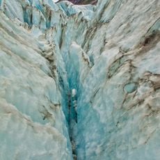
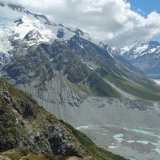
The Tasman Glacier is one of the country's longest ice fields and now feeds a lake where visitors can take boat trips. The glacial landscape shifts visibly year after year as the ice retreats and new water surfaces form.
The community of curious travelers
AroundUs brings together thousands of curated places, local tips, and hidden gems, enriched daily by 60,000 contributors worldwide.