Aoraki / Mount Cook, Mountain in the Southern Alps, Canterbury Region, New Zealand
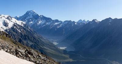
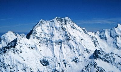
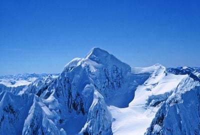
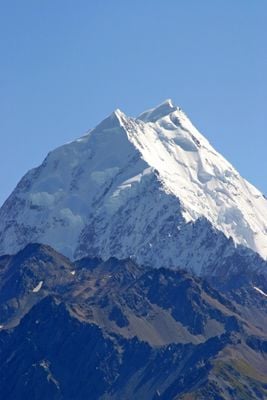
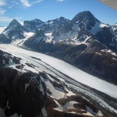
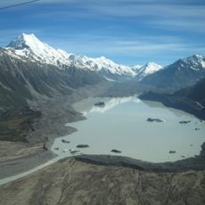
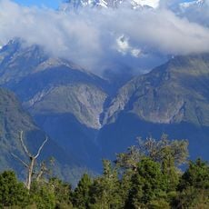
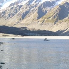
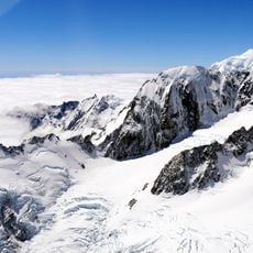
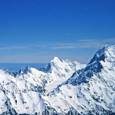
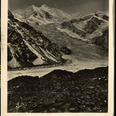
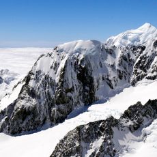
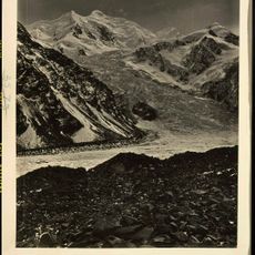
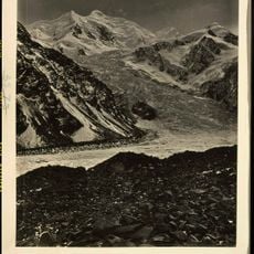
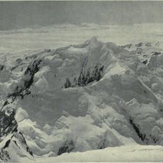
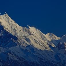
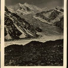
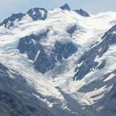
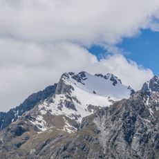
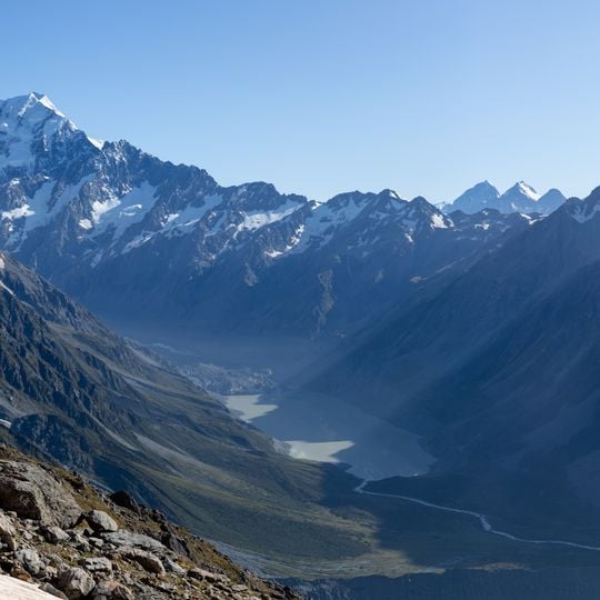
Aoraki / Mount Cook is the highest peak in New Zealand at 3,724 meters (12,218 feet) and rises in the Mackenzie District of the Southern Alps. Three summits form the ridgeline while several glaciers descend the flanks and feed turquoise meltwater lakes below.
Ngāi Tahu accounts of the peak stretch back centuries and describe it as a petrified ancestor stranded during a canoe voyage. European cartographers named it after the British navigator in 1851, and both names were officially recognized in 1998.
The name Aoraki comes from Ngāi Tahu tradition, in which Aoraki is an ancestor; the South Island is called Te Waka o Aoraki, "Aoraki's Canoe". The older spelling Aorangi is from the northern dialect. Since the 1998 settlement the official name places the Māori name first, the only such case among the renamed South Island places.
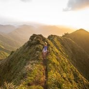
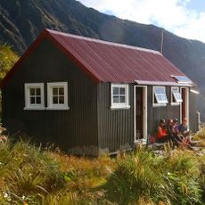
Most trails begin at White Horse Hill Campground and lead through tussock grassland to viewpoints overlooking glaciers and mountain lakes. Weather conditions can shift quickly, so hikers should carry warm layers and rain protection even on clear mornings.
The summit lost ten metres of height on 14 December 1991, when 12 to 14 million cubic metres of ice and rock fell from the east face and slid 7.5 kilometres at an average of 200 km/h, stopping on the Tasman Glacier and registering 3.9 on the Richter scale. A group of climbers preparing an ascent stood less than 300 metres away. The asteroid (3810) Aoraki was named after the mountain on 28 May 1991.
The community of curious travelers
AroundUs brings together thousands of curated places, local tips, and hidden gems, enriched daily by 92,301 contributors worldwide.