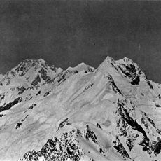
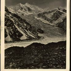
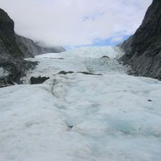
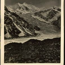
Mount Vancouver, Mountain summit in the Southern Alps, Canterbury Region, New Zealand
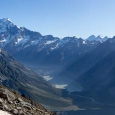
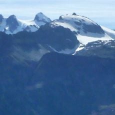
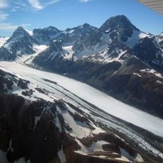
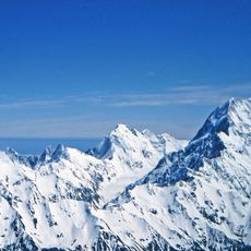
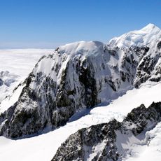
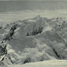
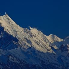
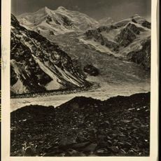
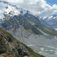
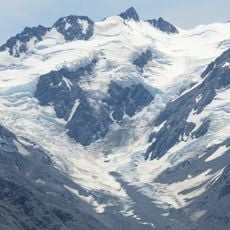
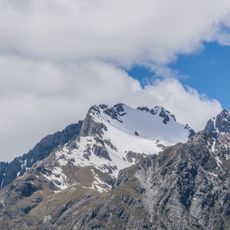
Mount Vancouver is a peak of 3,309 metres in the Southern Alps, set on the ridge that runs north from Aoraki / Mount Cook, between Mount Dampier (3,440 m) and the Clarke Saddle (2,978 m). It is New Zealand's fourth-highest named summit. The mountain lies in the western part of the South Island, near the coast, between the Cook and Tasman peaks.
The New Zealand Geographic Board officially named the mountain in 1953, honoring Captain George Vancouver, who sailed on James Cook's second Pacific expedition in 1773. This naming recognizes the contributions of an explorer from the late 18th century.
The name was adopted by the New Zealand Geographic Board in November 1953, honouring Captain George Vancouver, who sailed on James Cook's second voyage in 1773 and returned in 1791 in command of his own expedition. The peak sits on the ridge between Mount Dampier and the Clarke Saddle, north of Aoraki / Mount Cook.
Mount Vancouver sits on the ridge between Mount Dampier and Clarke Saddle, north of Aoraki / Mount Cook, and is reached only by alpine climbing from the Hooker or Tasman side. Approach and ascent take several days, so parties carry tents, ice gear and food for the full route. Snow and rock conditions on the ridge vary through the season, and the 3,309 m altitude calls for gradual acclimatisation before a summit attempt.
Mount Vancouver reaches 3,309 metres, making it New Zealand's fourth-highest named summit, yet it is an elevation on the ridge rather than a separate peak, sitting between Mount Dampier (3,440 m) and the Clarke Saddle (2,978 m) on the way north from Aoraki / Mount Cook.
The community of curious travelers
AroundUs brings together thousands of curated places, local tips, and hidden gems, enriched daily by 93,406 contributors worldwide.