Enable Location

We need your location to show you interesting places around you

Discover nearby places

Find interesting locations and hidden gems around you

Precise directions

Get accurate directions and distances to places

Your location is never shared with other users. It's only used when you tap the location button.

Mount Ollivier

Log in to your account

Start exploring — it's free

Trusted by 62,792 travelers worldwide

Continue with Google
Continue with Apple
or

We will send you a code to connect

By continuing, you accept our Terms and Conditions and our Privacy Policy

Check your inbox

We've sent a pincode in your inbox. Please enter the code below.

Mount Ollivier

Mount Ollivier, Mountain summit in Canterbury Region, New Zealand.

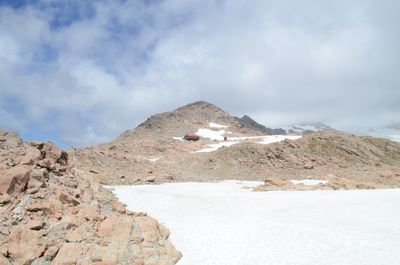
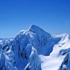
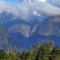
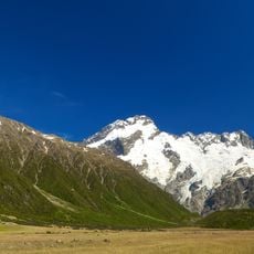
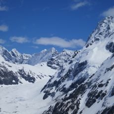
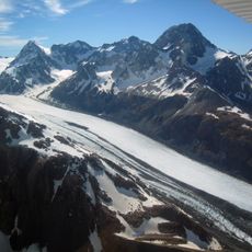
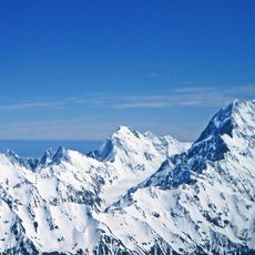
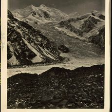
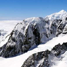
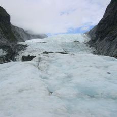
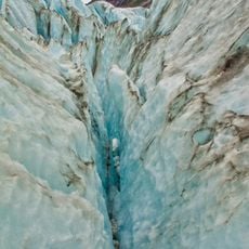
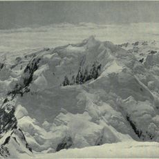
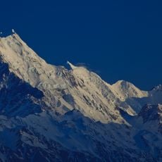
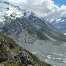
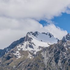
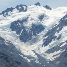
Mount Ollivier rises to 1,933 meters (6,342 feet) in the Sealy Range of the Southern Alps, commanding views across the Lake Pukaki valley and distant peaks. The terrain features steep rocky slopes, tussock grasslands on the approach, and dramatic ridgelines that define the alpine landscape.

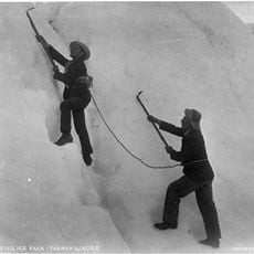
The peak gained prominence when a young mountaineer completed his first significant climbing expedition here in 1939. This early experience marked the beginning of a career that would later include major achievements in high-altitude mountaineering.

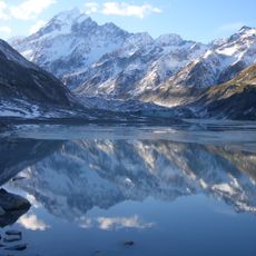
The peak sits within Aoraki Mount Cook National Park, where Maori connections to the land shape how visitors experience the region. These ties appear through interpretive signs and the landscape's spiritual importance to local communities.

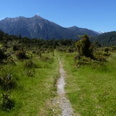
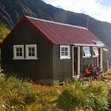
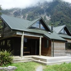
Visitors typically follow the Mueller Hut Route, a hiking trail that climbs through alpine grasslands with increasingly steep sections approaching the summit. The terrain becomes exposed at higher elevations, so hikers need solid mountain experience and should plan for variable weather conditions.

A 2008 proposal suggested renaming the mountain after the famous climber who had summited it decades earlier, but the Ollivier family opposed the change. The peak retained its original name, keeping the family's historical connection to the mountain intact.

The community of curious travelers

AroundUs brings together thousands of curated places, local tips, and hidden gems, enriched daily by 60,000 contributors worldwide.

Start exploring
GPS coordinates
-43.72548,170.06458
Latest update
December 10, 2025 15:56
« Mount Ollivier - Mountain summit in Canterbury Region, New Zealand » is provided by Around Us (aroundus.com). Images and texts are derived from Wikimedia project under a Creative Commons license. You are allowed to copy, distribute, and modify copies of this page, under the conditions set by the license, as long as this note is clearly visible.

Discover hidden gems everywhere you go!

From secret cafés to breathtaking viewpoints, skip the crowded tourist spots and find places that match your style. Our app makes it easy with voice search, smart filtering, route optimization, and insider tips from travelers worldwide. Download now for the complete mobile experience.

Around Us App Screenshot

A unique approach to discovering new places

Le Figaro

All the places worth exploring

France Info

A tailor-made excursion in just a few clicks

20 Minutes

Around Us
Travel Guide & Maps
Download

Send to your phone

QR Code
1

Open the camera app on your mobile.

2

Point at the QR code with your camera. A notification will appear.

3

Tap the notification to open the link.