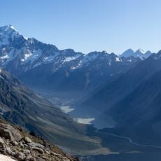
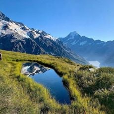
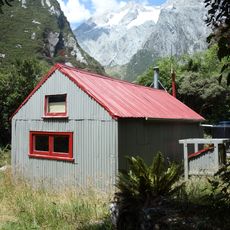
Copland Track, Hiking trail in Westland District, New Zealand
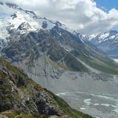
The Copland Track runs about 25 kilometres one-way from State Highway 6 to Douglas Rock Hut, following the Karangarua and Copland rivers through forest and riverbed. It passes Architect Creek Hut, climbs to roughly 460 metres near Shiels Creek, then descends to Welcome Flat, where hot springs and a rock bivouac sit beside the hut.
The Copland Valley was long used by local Māori, who knew the pass at its head and came to hunt weka and bathe in the hot pools. In the late 19th century Charlie Douglas and Arthur Harper were sent by the Department of Lands and Survey to judge whether a mule track could link Mount Cook Village with the West Coast; both reported the pass and Hooker Glacier unsuitable. Interest persisted, the route was reported within 8 miles of the Hermitage by July 1901, and the track was open to tourists soon after.
Local Māori knew the pass at the head of the valley and came into the Copland Valley to hunt weka and bathe in the hot pools. The pools at Welcome Flat remain a customary stop for trampers after the walk in, and the name Welcome Flat marks the flat where the hut and springs sit.
The only entry point is the western trailhead on State Highway 6, since erosion and the retreat of the Hooker Glacier closed the eastern approach. The main track runs about 25 km one-way to Douglas Rock Hut, taking 2 to 4 days; many walk only to Welcome Flat. The upper section beyond Welcome Flat is rougher and less maintained. A booking system operates year-round for the Welcome Flat hut.
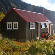
The Welcome Flat hut, built in 1986 on a former airstrip, was moved to a safer site after a mudslide struck it just 13 weeks after opening. Architect Creek Hut, the first hut on the track, was built in 1975, sleeps two and is often damp.
The community of curious travelers
AroundUs brings together thousands of curated places, local tips, and hidden gems, enriched daily by 93,402 contributors worldwide.