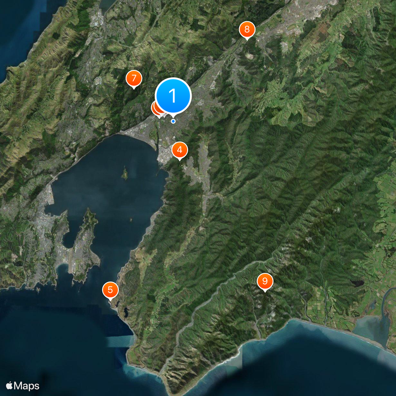
Lower Hutt, City council administration in Wellington Region, New Zealand
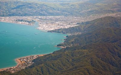
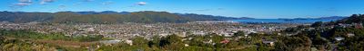
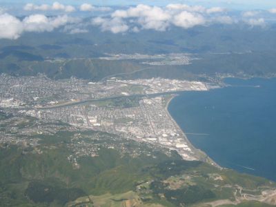
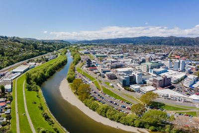
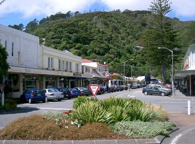
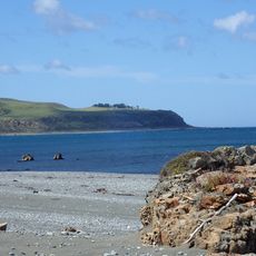
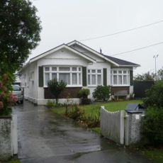
Lower Hutt spreads along Te Awa Kairangi River, bringing together residential areas, commercial zones, and natural spaces into one connected place. The city mixes built-up neighborhoods with parks and riverbanks that shape how people move through it.
European settlement arrived in 1840 when the Aurora ship brought the first colonists sent by the New Zealand Company. Fighting broke out with local Māori communities, reaching a peak during the Hutt Valley Campaign in 1846.
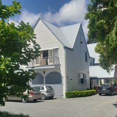
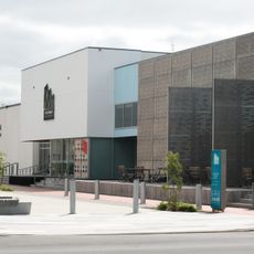
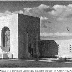
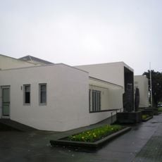
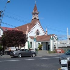
The Dowse Art Museum and Petone Settlers Museum hold collections that show how this region changed from Māori communities to European settlement and beyond. Walking through these spaces gives you a sense of the different periods that shaped local life.
Digital services through mobile apps help you check waste collection schedules and report problems with local infrastructure. These tools make it easy to handle practical matters while you are in the city.
Te Ngaengae Pool became New Zealand's first aquatic facility to earn sustainability certification for its environmental practices. This achievement shows how the city is working to make its public spaces more responsible.
Location: Lower Hutt City
Elevation above the sea: 0 m
Part of: Wellington
Shares border with: Wellington City, Porirua, Upper Hutt, South Wairarapa District
Website: http://huttcity.govt.nz
GPS coordinates: -41.21667,174.91667
Latest update: December 14, 2025 18:29
Ministry of Māori Development
917 m
Vogel House
1.3 km
Wainuiomata Tunnel
3.4 km
Pencarrow Head Lighthouse
16.8 km
Dowse Art Museum
1.2 km
Belmont Regional Park
4.6 km
Silver Stream Railway
9.8 km
Mount Matthews
17.1 km
Baring Head Lighthouse
21.6 km
Remutaka Forest Park
17.4 km
Baring Head/Ōrua-pouanui
21.6 km
Petone Settlers Museum
3.4 km
East Harbour Regional Park
8.2 km
Lower Hutt War Memorial Library
1.4 km
Lower Hutt Central Fire Station
733 m
The Glebe
1.7 kmDry Creek Waterfall
8 kmPercy Waterfall
3.5 kmKorokoro Dam Waterfall
4.2 km
Matiu / Somes Island Lighthouse
6.5 km
Pencarrow Sector Light
16.9 kmBroadwalk Waterfall
4.4 km
Nash House
1.4 km
Lake Kohangatera and Lake Kohangapiripiri Scientific Reserve
17.4 km
St David's Church
3.2 kmTrentham Military Camp Clocktower Building (Library)
13 km
Wainuiomata Historical Museum
7.2 km
Lower Hutt Civic Centre Historic Area
1.4 kmVisited this place? Tap the stars to rate it and share your experience / photos with the community! Try now! You can cancel it anytime.
Discover hidden gems everywhere you go!
From secret cafés to breathtaking viewpoints, skip the crowded tourist spots and find places that match your style. Our app makes it easy with voice search, smart filtering, route optimization, and insider tips from travelers worldwide. Download now for the complete mobile experience.
A unique approach to discovering new places❞
— Le Figaro
All the places worth exploring❞
— France Info
A tailor-made excursion in just a few clicks❞
— 20 Minutes