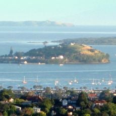
Rangitoto Island summit, Volcanic summit in Auckland Region, New Zealand.
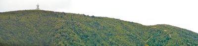
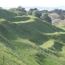
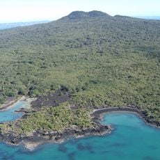
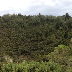
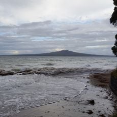
Rangitoto Island summit is a volcanic peak in the Auckland Region rising 260 meters above sea level. The terrain consists of rough black lava fields with trails and steps cut through the rocky surface, creating a natural maze of stone and vegetation.
This volcano formed around 600 years ago through successive eruptions, making it the newest in the Auckland volcanic field. The relatively recent creation means the landscape remains largely bare and shaped by those ancient lava flows.
The summit holds significance for Māori as a former settlement site before volcanic activity reshaped the landscape. Today, markers along the trail tell the story of how people adapted to and used this place before and after the eruptions.
The trail to the summit is well-maintained with stairs and clear markers, making it accessible for most visitors with reasonable fitness. Wear sturdy shoes and bring water, as the black lava rocks reflect intense heat and offer little shade along the path.
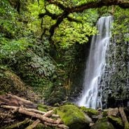
Hidden beneath the summit lies a network of lava caves located roughly 200 meters down, forming natural tunnels through the volcanic rock. These underground chambers served as shelter in earlier times and remain accessible to those curious enough to venture below.
The community of curious travelers
AroundUs brings together thousands of curated places, local tips, and hidden gems, enriched daily by 60,000 contributors worldwide.