Duder Regional Park, Regional park in Auckland, New Zealand
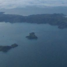
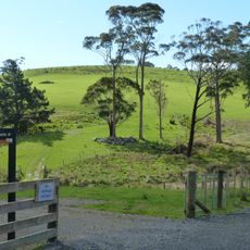
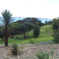
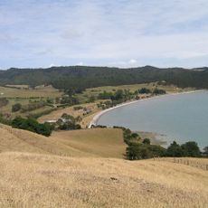
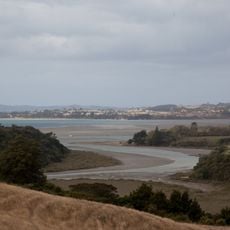
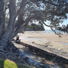
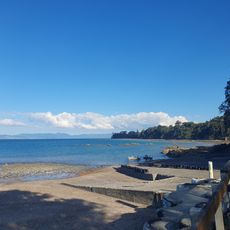
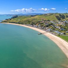
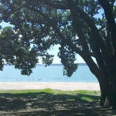
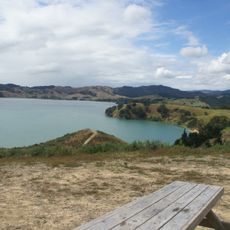
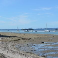
Duder Regional Park occupies the Whakakaiwhara Peninsula east of Auckland, a 162-hectare working sheep farm bounded west by Duders Beach. Most of the headland is grass, but "the Big Bush" in the southwest is a remnant of the forest that covered the peninsula before human settlement. Pōhutukawa line the coast, and tidal mudflats and shell banks lie along the southern shore.
In July 1866, rangatira Hori Te Whētuki sold the Whakakaiwhara Peninsula to Thomas Duder, a former boatswain whose ship HMS Buffalo was wrecked in 1840. The Duder family ran sheep there, with 600 Romney-Merino and Merino-Corriedale sheep by the 1890s, and the land passed to the Auckland Regional Council to open as a park in 1995.
The name Whakakaiwhara recalls the Tainui crew coming ashore to eat tāwhara, the edible flowers of the kiekie vine. A crew member, Tāne Whakatia, planted a karaka berry that grew into Huna ā Tāne, the great tree behind the peninsula's many karaka. Ngāi Tai ki Tāmaki settled here, and by the 1600s Whakakaiwhara Pā and Te Oue Pā were focal points of iwi life.
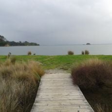
The park is a 162-hectare working farm on the Whakakaiwhara Peninsula, bounded west by Duders Beach; expect grassed tracks and livestock, so keep to marked routes and leave gates as you find them. The southern coast's tidal mudflats and shell banks are closed to the public as dotterel breeding habitat. The far east of the peninsula, Te Tauranga ō Tainui, marks where the Tainui canoe moored.
During World War II the peninsula was used as a rocket range for training exercises, and in 1942 the Royal New Zealand Air Force began an underground seaplane base on the lower peninsula before abandoning construction 18 months later. The farm stayed with the Duder family until the Auckland Regional Council bought it and opened the park in 1995.
The community of curious travelers
AroundUs brings together thousands of curated places, local tips, and hidden gems, enriched daily by 93,498 contributors worldwide.