Ōmana Regional Park, Regional park in Auckland Region, New Zealand
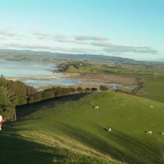
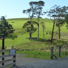
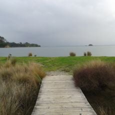
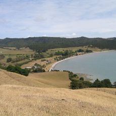
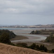
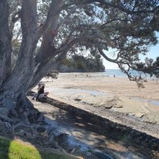
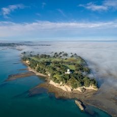
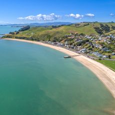
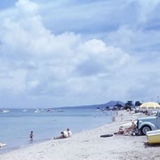
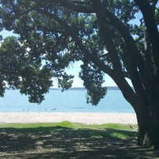
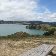
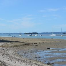
Ōmana Regional Park covers 40.81 hectares on a knoll rising 40 metres above sea level, with about 20 hectares grazed by sheep. Its northern boundary is a beach and rock platform; the western boundary is the brackish Te Puru Creek, and the Whitford-Maraetai road runs along the eastern edge behind a strip of mature native bush.
Ōmana was part of William Fairburn's Maraetai Mission Station, one of the first European farms in eastern Auckland, run from 1837 to 1842. In the mid-1840s settlers felled the forest for timber and farmland; kauri from the Maraetai hills behind the park was hauled down by bullock teams, floated to Auckland mills, and the ground was dug for kauri gum and prospected for gold and silver.
The name Ōmana shortens Ōmanawatere, "The Place of Manawatere", after a Ngāi Tai ancestor. Ngāi Tai legend says Manawatere came from Hawaiki not by canoe but gliding over the ripples of the waves; the ARC information board beside the pā says he rode on the back of a taniwha.
The park has walking tracks of different lengths that suit various abilities and time frames, from short strolls to longer hikes. Designated areas allow dogs, making it convenient for visitors traveling with pets.
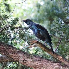
About 26 bird species inhabit the park, including pūkeko, kererū, and tūī in their different habitats throughout the area. At low tide, seabirds like white-fronted terns gather on rocky outcrops to rest and feed.
The community of curious travelers
AroundUs brings together thousands of curated places, local tips, and hidden gems, enriched daily by 94,405 contributors worldwide.