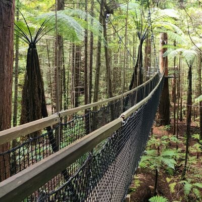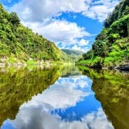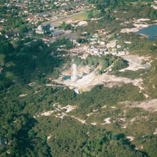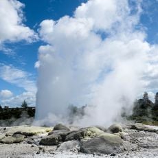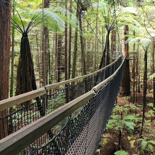
Whakarewarewa State Forest, Forest in New Zealand
Whakarewarewa State Forest is a coniferous woodland about 400 km north-east of Wellington, near Rotorua. The climate is coastal, with January temperatures averaging 15 °C and July about 4 °C, and annual rainfall of roughly 1,613 mm. The trees grow in a temperate setting where rain falls throughout the year, heaviest in June.
The forest evolved from a place of local use and protection to a commercially managed woodland over many years. It was shaped by Māori community involvement in the land and later developed into a timber production area alongside recreational and conservation areas.
The forest holds cultural meaning for the local Māori people, who view it as a place of respect and significance in their history. Visitors walking through the paths experience this connection to the land that has been part of the community for many generations.
The forest lies about 400 km northeast of Wellington, near Rotorua, and has a coastal climate with January highs around 15 °C and July lows around 4 °C. Rain falls throughout the year, averaging about 1,613 mm annually, with June among the wetter months at roughly 164 mm. Carry rain protection and check conditions before setting out on the trails.
Whakarewarewa State Forest lies about 400 km northeast of Wellington, and its climate is coastal, with January averaging 15 °C and July 4 °C. Annual rainfall reaches roughly 1,613 mm, with June the wettest month at about 164 mm and February the driest at about 94 mm.
The community of curious travelers
AroundUs brings together thousands of curated places, local tips, and hidden gems, enriched daily by 94,430 contributors worldwide.