Kawerau, human settlement in New Zealand
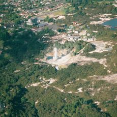
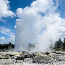
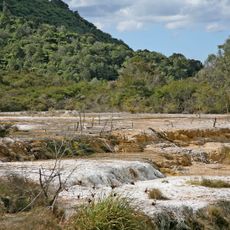
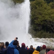
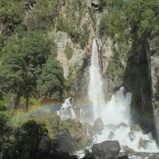
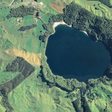
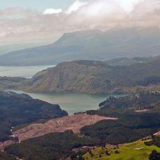
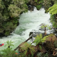
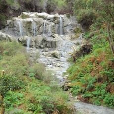
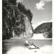
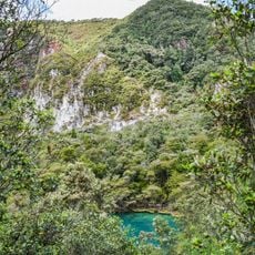
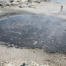
Kawerau is a small town in New Zealand's Bay of Plenty region built on geothermal land with natural hot springs and steam vents. It is surrounded by forests and rivers, with free mineral pools open to visitors year-round.
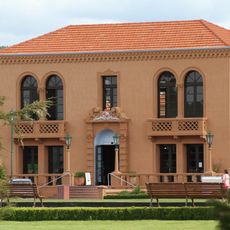
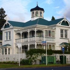
The town was founded in 1953 to support a large paper mill nearby, which became crucial to its early economy. The mill drove rapid growth and transformed the settlement into a thriving community centered on industrial development.
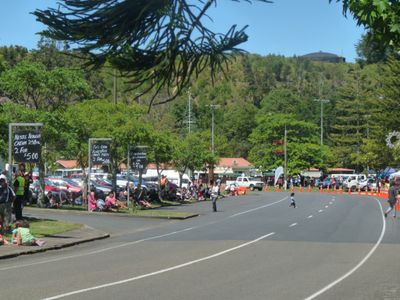
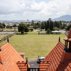
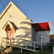
Kawerau hosts a strong Māori community whose traditions and history shape the local character. Visitors can see traditional artworks and experience cultural events that reflect the blend of modern life and ancestral customs in the town.
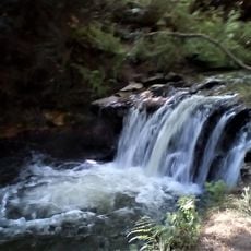
Check weather and trail conditions before visiting, as some areas like Tarawera Falls require permission to access. Local information and planning help ensure a safe and smooth trip through the area.
The town is one of New Zealand's newest, founded in the 1950s yet already rich in history tied to its industrial origins. This mix of youth and established community makes it a fascinating example of rapid urban development shaped by a single industry.
The community of curious travelers
AroundUs brings together thousands of curated places, local tips, and hidden gems, enriched daily by 60,000 contributors worldwide.