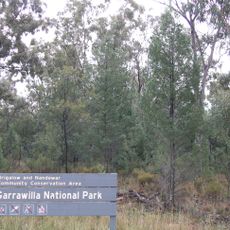
Warrumbungles, Mountain range in Orana region, New South Wales, Australia
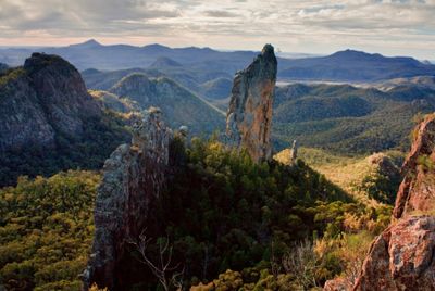
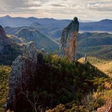
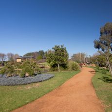
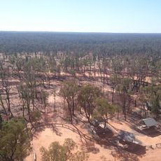
The Warrumbungles form a circular array of towering volcanic outcrops, including Belougery Spire, Crater Bluff, and the Breadknife, with the highest peaks reaching 1,206 meters. The 23,311-hectare protected area offers walking trails of varying difficulty throughout its landscape.
John Oxley first explored the range in 1818 and initially called it Arbuthnot Range before adopting the Gamilaroi name meaning crooked mountains. The rock formations have been shaped by erosion and weathering over millions of years.
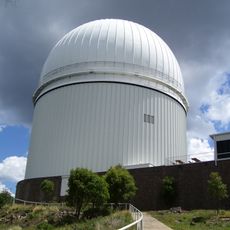
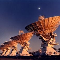
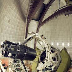
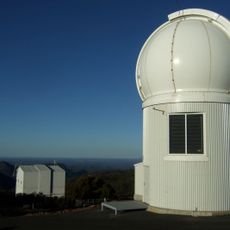
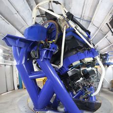
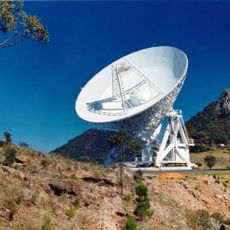
The range takes its name from the local Gamilaroi language and today serves as a hub for stargazing, with an observatory situated on Mount Woorut within Australia's first Dark Sky Park. This location makes it a natural gathering place for those interested in observing the night sky.
Access is available through multiple walking routes throughout the national park, with entry points designed for various experience levels. The cooler months are ideal for visiting, as summer temperatures can be quite high.
The exposed rock formations reveal a 13-million-year-old shield volcano that originally stood 1,000 meters higher before erosion reshaped it into its current form. This geological window demonstrates how powerful natural forces have worked over vast time periods.
The community of curious travelers
AroundUs brings together thousands of curated places, local tips, and hidden gems, enriched daily by 60,000 contributors worldwide.