
Menangle Weir
Location: New South Wales
Elevation above the sea: 75 m
GPS coordinates: -34.11528,150.74278
Latest update: April 28, 2025 03:42
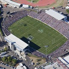
Campbelltown Stadium
11.1 km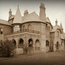
Camelot, Kirkham
9.3 km
Oran Park Raceway
12.2 km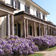
Camden Park Estate
3.5 km
Mount Annan Botanic Garden
5.5 km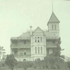
Studley Park
7.4 km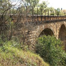
Stonequarry Creek railway viaduct, Picton
13.9 km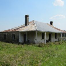
Beulah
4.5 km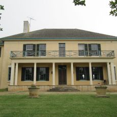
Oran Park
11.7 km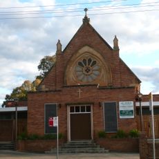
St John's Catholic Church, Campbelltown
8.8 km
Jarvisfield, Picton
11.9 km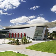
Campbelltown Arts Centre
7.7 km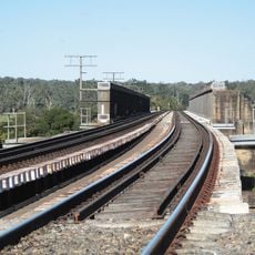
Menangle Railway Bridge
313 m
Denfield
5.5 km
Holly Lea and Plough Inn
10.9 km
Australian PlantBank
5.9 km
Glenlee, Menangle Park
3.3 km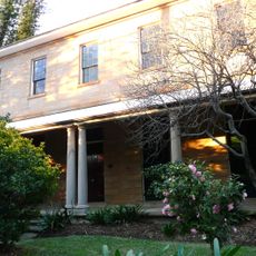
Glenalvon House
8.5 km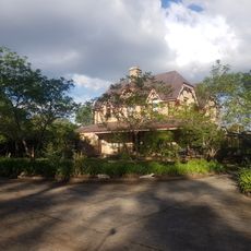
St Helen's Park
6.1 km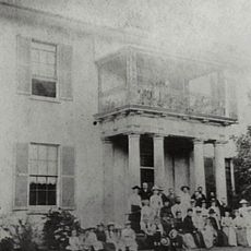
Wivenhoe
10.9 km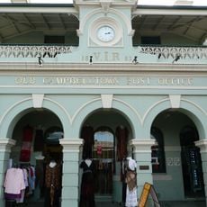
Campbelltown Post Office
8.3 km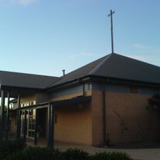
St Thomas' Anglican Church, Narellan
6.1 km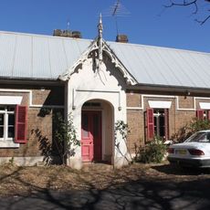
Macquarie Grove
9.3 km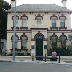
Commercial Banking Company of Sydney, Campbelltown Branch
8.2 km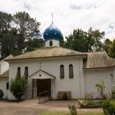
Our Lady of Kazan Convent
11.9 km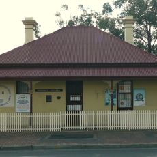
Dredges Cottage
8 km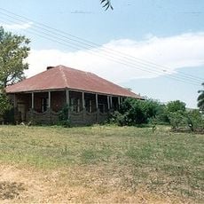
Epping Forest, Kearns
12.3 km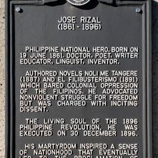
Jose Rizal historical marker
4.8 kmReviews
Visited this place? Tap the stars to rate it and share your experience / photos with the community! Try now! You can cancel it anytime.
Discover hidden gems everywhere you go!
From secret cafés to breathtaking viewpoints, skip the crowded tourist spots and find places that match your style. Our app makes it easy with voice search, smart filtering, route optimization, and insider tips from travelers worldwide. Download now for the complete mobile experience.

A unique approach to discovering new places❞
— Le Figaro
All the places worth exploring❞
— France Info
A tailor-made excursion in just a few clicks❞
— 20 Minutes