Alexandra Canal, Heritage canal in southern Sydney, Australia
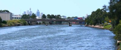
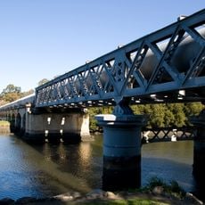
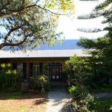
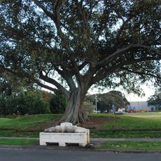
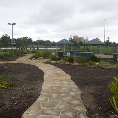
Alexandra Canal is an engineered waterway in southern Sydney connecting Alexandria to the Cooks River at Tempe, bordered by stone walls and crossed by multiple bridges. The path alongside runs for several kilometers and offers clear views of the water and surrounding areas.
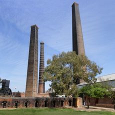
The canal took shape in the 1890s as a work relief project, redirecting Shea's Creek into a cargo transport route for industry. This effort shaped the area's economic development and infrastructure for generations.
The waterway holds meaning as a bridge between Sydney's rural origins and its industrial growth, visible in how locals use the banks for reflection and community gatherings. People connect with this place because it shows how the land itself was reshaped to meet human needs.
Walking paths run along the banks with observation areas where you can pause and view the waterway. The terrain is relatively flat and straightforward for exploring on foot, with many points to stop and take in the surroundings.
Excavations during construction unearthed dugong remains, revealing that people lived in this area long before European settlement. This discovery hints at a deep human story lying beneath the modern urban landscape.
The community of curious travelers
AroundUs brings together thousands of curated places, local tips, and hidden gems, enriched daily by 60,000 contributors worldwide.