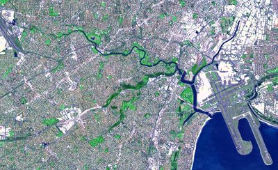
Cooks River, Urban river in Sydney, Australia
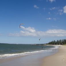
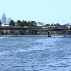
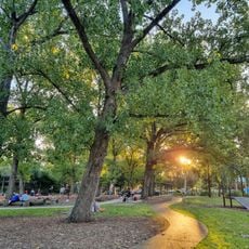
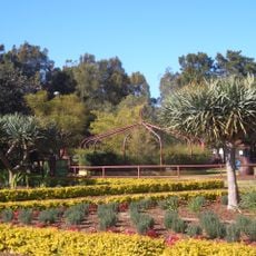
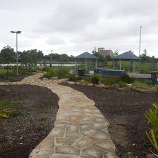
Cooks River extends for 23 kilometers through multiple southwestern Sydney suburbs before flowing into Botany Bay near Sydney Airport. Walking and cycling paths line both sides of the waterway, connecting numerous parks and recreational areas throughout the region.
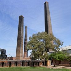
Named after Captain James Cook in 1770 when he explored the waters, the river was significantly modified in the 1940s to accommodate Sydney Airport construction. These changes reshaped the waterway to serve the growing city's infrastructure needs.
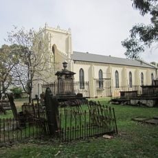
The Gadigal and Wangal clans of Indigenous Australians maintained their traditions along this waterway for thousands of years before European settlement. This connection to the land and water continues to shape the identity of the surrounding communities today.
Access to the river is best gained through the walking and cycling paths that connect to various parks and parking areas throughout the route. The paths are suitable for year-round activities, and most park areas offer basic facilities such as restrooms and picnic tables.
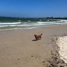
The river system includes concrete-lined tributaries and supports mangrove forests in its tidal sections, creating habitat for diverse bird populations. These green spaces allow wildlife to thrive within an intensely developed urban area.
The community of curious travelers
AroundUs brings together thousands of curated places, local tips, and hidden gems, enriched daily by 60,000 contributors worldwide.