Chest opened
+${chestReward.xp} XP
Explorer
NOUVEAU ×${chestReward.collectible.quantity}
tapez pour fermer
Chest locked

Open chests in the app

Around Us is built for your phone — chests unlock when you walk, explore and capture nearby places.

Enable Location

We need your location to show you interesting places around you

Discover nearby places

Find interesting locations and hidden gems around you

Precise directions

Get accurate directions and distances to places

Your location is never shared with other users. It's only used when you tap the location button.

Rozelle

Log in to your account

Start exploring — it's free

Trusted by 72,887 travelers worldwide

Continue with Google
Continue with Apple
or

We will send you a code to connect

By continuing, you accept our Terms and Conditions and our Privacy Policy

Check your inbox

We've sent a pincode in your inbox. Please enter the code below.

Discussion Reviews 1 Photos
14.5k Popularity

Rozelle, Administrative division in Inner West, Sydney, Australia

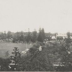
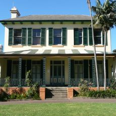
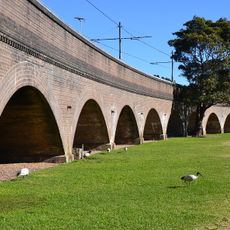
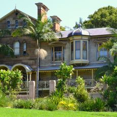
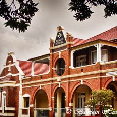
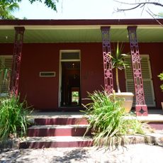
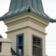
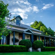
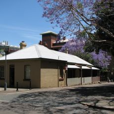
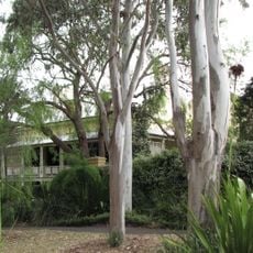
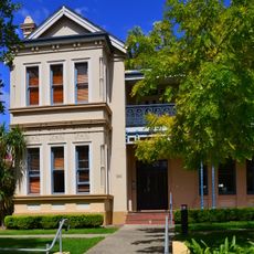
Rozelle is a suburb in Sydney's inner west sitting on a hilly peninsula between Millers Point and Glebe. The area contains residential streets, local shops, and industrial heritage structures spread throughout the neighborhood.

The area was originally called Balmain West until 1892, when the post office received a new name that reflected changing local identity. This administrative shift marked a turning point in how the neighborhood developed over time.

The Wangal people of the Dharug language group lived in this area for thousands of years, leaving shell middens that mark their long connection to the land. These sites remain visible reminders of their presence before European settlement.

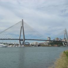
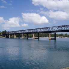
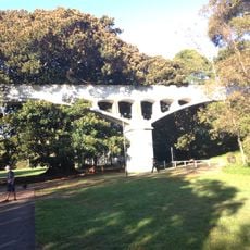
The best way to explore the area on foot or by bike, as the streets are hilly and winding. The Anzac Bridge provides a main link to the city center and is visible from many parts of the neighborhood.

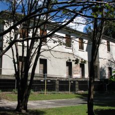
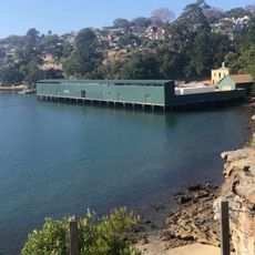
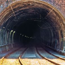
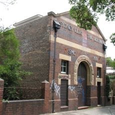
White Bay Power Station generated electricity for the city until it closed in 1983, and its industrial building still stands at Roberts and Victoria Road today. This abandoned structure shows how the neighborhood once served as a major power hub for Sydney.

The community of curious travelers

AroundUs brings together thousands of curated places, local tips, and hidden gems, enriched daily by 60,000 contributors worldwide.

Start exploring
GPS coordinates
-33.86450,151.17435
Latest update
December 7, 2025 20:21
Reviews
Share your experience

No review yet

Discussions
Start a discussion...

No discussion yet

« Rozelle - Administrative division in Inner West, Sydney, Australia » is provided by Around Us (aroundus.com). Images and texts are derived from Wikimedia project under a Creative Commons license. You are allowed to copy, distribute, and modify copies of this page, under the conditions set by the license, as long as this note is clearly visible.

Discover hidden gems everywhere you go!

From secret cafés to breathtaking viewpoints, skip the crowded tourist spots and find places that match your style. Our app makes it easy with voice search, smart filtering, route optimization, and insider tips from travelers worldwide. Download now for the complete mobile experience.

Around Us App Screenshot

A unique approach to discovering new places

Le Figaro

All the places worth exploring

France Info

A tailor-made excursion in just a few clicks

20 Minutes

Around Us
Travel Guide & Maps
Download

Send to your phone

QR Code
1

Open the camera app on your mobile.

2

Point at the QR code with your camera. A notification will appear.

3

Tap the notification to open the link.