·

Enable Location

We need your location to show you interesting places around you

Discover nearby places

Find interesting locations and hidden gems around you

Precise directions

Get accurate directions and distances to places

Your location is never shared with other users. It's only used when you tap the location button.

Ashfield

Log in to your account

Start exploring — it's free

Trusted by 62,630 travelers worldwide

Continue with Google
Continue with Apple
or

We will send you a code to connect

By continuing, you accept our Terms and Conditions and our Privacy Policy

Check your inbox

We've sent a pincode in your inbox. Please enter the code below.

Ashfield, Administrative district in Inner West Sydney, Australia

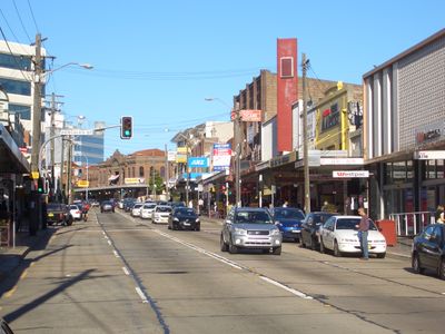
Ashfield is a suburb in Sydney's Inner West that mixes residential streets with shops and services across its area. Main roads connect different neighborhoods and commercial zones, shaping how the place functions and flows.

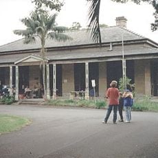
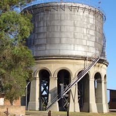
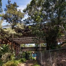
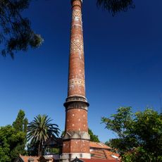
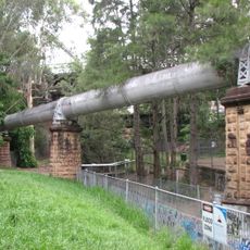
The area began as farmland and gradually became an urban neighborhood during the 1800s as people moved in and buildings grew. This shift shaped what you see today as a settled residential district.

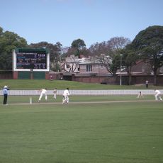
The neighborhood draws residents from many backgrounds who run shops, restaurants, and gather for festivals throughout the year. You'll notice this cultural diversity in the way spaces are used and decorated, creating a dynamic community feel.

You can reach the area by train at Ashfield Station or by bus on main routes through the suburb. It's best to explore during daytime when shops are open and streets are busy.

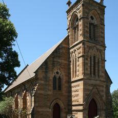
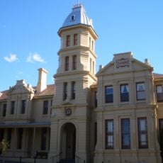
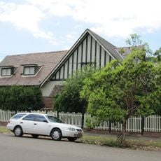
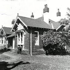
The area preserves a mix of 19th-century Victorian houses standing next to modern apartment buildings side by side. This contrast shows how the place has evolved across different eras.

The community of curious travelers

AroundUs brings together thousands of curated places, local tips, and hidden gems, enriched daily by 60,000 contributors worldwide.

Start exploring
Location
Location
Location
Elevation above the sea
27 m
Shares border with
Haberfield, Summer Hill, Croydon, Five Dock, Hurlstone Park, Ashbury, Croydon Park, Dulwich Hill
GPS coordinates
-33.88917,151.12750
Latest update
December 20, 2025 12:11
« Ashfield - Administrative district in Inner West Sydney, Australia » is provided by Around Us (aroundus.com). Images and texts are derived from Wikimedia project under a Creative Commons license. You are allowed to copy, distribute, and modify copies of this page, under the conditions set by the license, as long as this note is clearly visible.

Discover hidden gems everywhere you go!

From secret cafés to breathtaking viewpoints, skip the crowded tourist spots and find places that match your style. Our app makes it easy with voice search, smart filtering, route optimization, and insider tips from travelers worldwide. Download now for the complete mobile experience.

Around Us App Screenshot

A unique approach to discovering new places

Le Figaro

All the places worth exploring

France Info

A tailor-made excursion in just a few clicks

20 Minutes

Around Us
Travel Guide & Maps
Download

Send to your phone

QR Code
1

Open the camera app on your mobile.

2

Point at the QR code with your camera. A notification will appear.

3

Tap the notification to open the link.