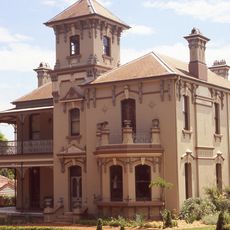
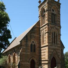
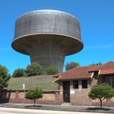
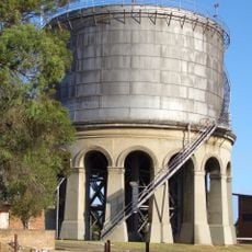
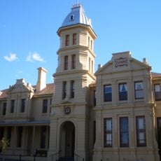
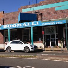
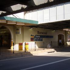
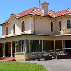
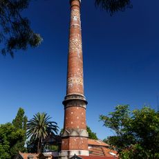
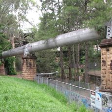
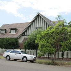
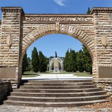
Municipality of Ashfield, former local government area of New South Wales, Australia
Location: Sydney
Location: New South Wales
Elevation above the sea: 38 m
Website: http://ashfield.nsw.gov.au
GPS coordinates: -33.88333,151.13333
Latest update: March 5, 2025 18:53
Rodd Island
2.4 km
Yasmar
319 m
Rozelle Hospital - Broughton Hall
2.8 km
Sydney Bus Museum
2.5 km
The Priory
2.9 km
St. David's Uniting Church
417 m
Petersham Reservoir
2.5 km
Ashfield Reservoir
1.9 km
Shubra Hall
1.6 km
Boomalli Aboriginal Artists Cooperative
1.6 km
Croydon Sewer Vent
1.8 km
Burwood rail underbridge
2.8 km
Long Cove Creek railway viaducts, Lewisham
1.4 km
Corunna Road Sewer Vent and Cottage
3 km
Leichhardt Town Hall
2.2 km
Petersham Town Hall
2.6 km
Woodstock
2.7 km
Lewisham Sewer Vent
2 km
Lewisham Sewage Aqueduct
1.4 km
Burwood Post Office
2.8 km
The Bunyas
202 m
Lynton, Burwood
2.6 km
St. David's Road Depot
388 m
Derrylyn
778 m
Norton Street Cinemas
2.2 km
Pioneers Memorial Park
2.3 km
War Memorial Park
2.9 km
Horse trough
2.1 kmReviews
Visited this place? Tap the stars to rate it and share your experience / photos with the community! Try now! You can cancel it anytime.
Discover hidden gems everywhere you go!
From secret cafés to breathtaking viewpoints, skip the crowded tourist spots and find places that match your style. Our app makes it easy with voice search, smart filtering, route optimization, and insider tips from travelers worldwide. Download now for the complete mobile experience.
A unique approach to discovering new places❞
— Le Figaro
All the places worth exploring❞
— France Info
A tailor-made excursion in just a few clicks❞
— 20 Minutes