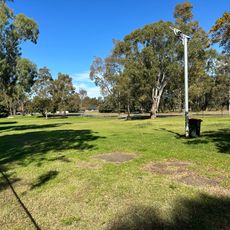
Lower Prospect Canal Reserve, Nature reserve in western Sydney, Australia
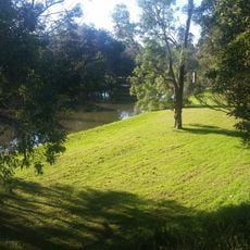
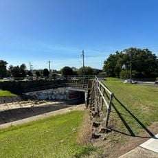
Lower Prospect Canal Reserve is a nature reserve that runs through western Sydney, offering walking trails, native plants, and wildlife throughout its course. The landscape combines open grassy areas with wooded sections, creating a natural corridor within the urban environment.
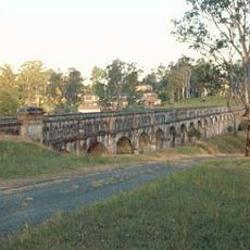
The canal was constructed between 1880 and 1888 and served as a vital water supply system for western Sydney until an underground pipeline replaced it in 1995. This infrastructure shaped the region's development and left behind the landscape we see today.
The reserve keeps one of the last remnants of Cumberland Plain Woodland in the Sydney basin, with rare and endangered plant specimens. Its survival is owed to more than a century of use as part of Sydney's water supply, which held off the suburban development around it. The land is Crown land managed by a New South Wales government department.
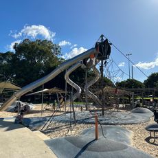
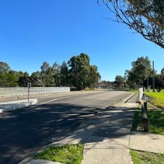
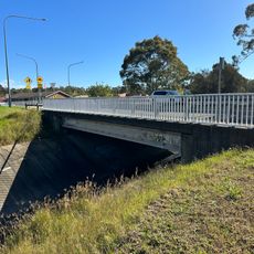
The reserve is a 7.7 km lineal corridor from Prospect Reservoir to Pipehead at Albert Street, Guildford, with most of it in Greystanes. Three roads cross it on bridges: Gipps Road, Cumberland Highway and Sherwood Road. Canal Road Park, on the western edge of Greystanes, has a children's playground, barbecue area and picnic shelters.
The canal fell only about 77 centimetres over its 7.7-kilometre length, roughly 10 centimetres per kilometre, so water moved by gravity alone. Because of this, builders had to keep the alignment almost perfectly level. Near Prospect Reservoir the channel was also diverted underground for 288 metres beneath the slope of Prospect Hill to keep water from being contaminated.
The community of curious travelers
AroundUs brings together thousands of curated places, local tips, and hidden gems, enriched daily by 93,529 contributors worldwide.