Enable Location

We need your location to show you interesting places around you

Discover nearby places

Find interesting locations and hidden gems around you

Precise directions

Get accurate directions and distances to places

Your location is never shared with other users. It's only used when you tap the location button.

Wahroonga

Log in to your account

Start exploring — it's free

Trusted by 62,585 travelers worldwide

Continue with Google
Continue with Apple
or

We will send you a code to connect

By continuing, you accept our Terms and Conditions and our Privacy Policy

Check your inbox

We've sent a pincode in your inbox. Please enter the code below.

Wahroonga, Administrative division in Ku-ring-gai Council, New South Wales, Australia.

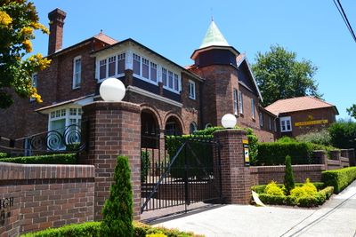
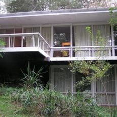
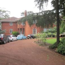
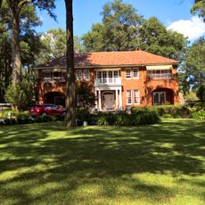
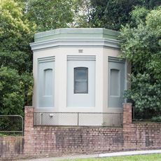
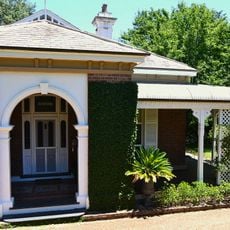
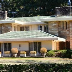
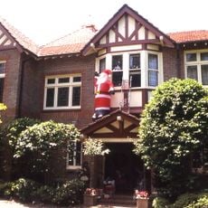
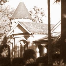
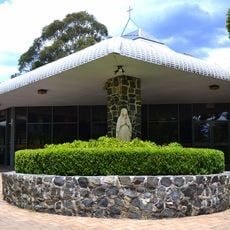
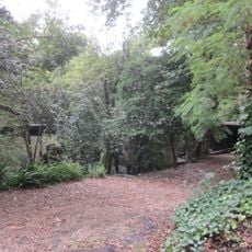
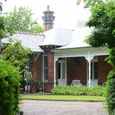
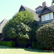
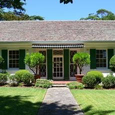
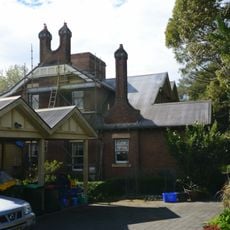
Wahroonga is a suburb on elevated terrain in Ku-ring-gai Council, New South Wales, with established gardens and native vegetation scattered throughout. The area consists of residential streets where heritage homes sit alongside contemporary buildings.

The area received land grants in 1794 and developed into a residential area after the railway station opened in 1890, attracting settlers from Sydney. This rail connection transformed how the suburb grew and who lived here.

The name Wahroonga comes from an Aboriginal language and means a place where water flows. The landscape and preserved sacred sites reflect the deep connection Indigenous people maintained with this land.

The suburb connects to Sydney through regular train services on the T1 North Shore line and has several schools and shopping facilities. The elevated location means some streets can be steep, so it is worth knowing the local terrain when planning your visit.

The suburb maintains extensive records of sacred sites associated with local Aboriginal communities, including rock carvings and shelters. These places offer visitors a direct window into thousands of years of Indigenous presence in the region.

The community of curious travelers

AroundUs brings together thousands of curated places, local tips, and hidden gems, enriched daily by 60,000 contributors worldwide.

Start exploring
Location
Location
Location
Shares border with
Pennant Hills, South Turramurra, Thornleigh, Turramurra, Waitara, Warrawee, Normanhurst, North Wahroonga, Hornsby, North Turramurra
GPS coordinates
-33.71830,151.11900
Latest update
December 20, 2025 15:14
« Wahroonga - Administrative division in Ku-ring-gai Council, New South Wales, Australia » is provided by Around Us (aroundus.com). Images and texts are derived from Wikimedia project under a Creative Commons license. You are allowed to copy, distribute, and modify copies of this page, under the conditions set by the license, as long as this note is clearly visible.

Discover hidden gems everywhere you go!

From secret cafés to breathtaking viewpoints, skip the crowded tourist spots and find places that match your style. Our app makes it easy with voice search, smart filtering, route optimization, and insider tips from travelers worldwide. Download now for the complete mobile experience.

Around Us App Screenshot

A unique approach to discovering new places

Le Figaro

All the places worth exploring

France Info

A tailor-made excursion in just a few clicks

20 Minutes

Around Us
Travel Guide & Maps
Download

Send to your phone

QR Code
1

Open the camera app on your mobile.

2

Point at the QR code with your camera. A notification will appear.

3

Tap the notification to open the link.