Enable Location

We need your location to show you interesting places around you

Discover nearby places

Find interesting locations and hidden gems around you

Precise directions

Get accurate directions and distances to places

Your location is never shared with other users. It's only used when you tap the location button.

Parramatta

Log in to your account

Start exploring — it's free

Trusted by 62,589 travelers worldwide

Continue with Google
Continue with Apple
or

We will send you a code to connect

By continuing, you accept our Terms and Conditions and our Privacy Policy

Check your inbox

We've sent a pincode in your inbox. Please enter the code below.

Parramatta, Electoral division in New South Wales, Australia

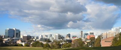
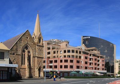
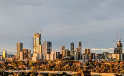
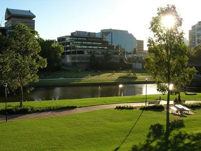
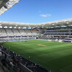
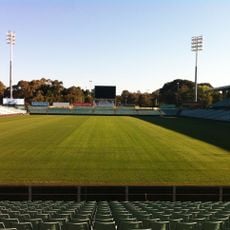
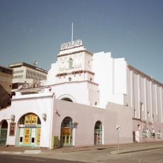
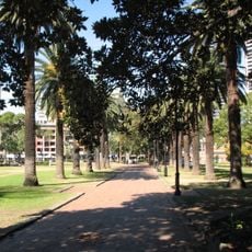
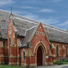
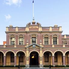
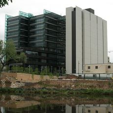
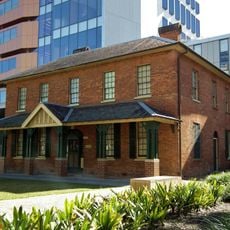
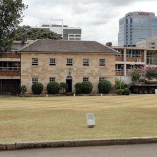
Parramatta is a commercial district west of central Sydney in the state of New South Wales. The area follows the Parramatta River and combines office towers, shopping arcades and government buildings with parks and heritage lanes.

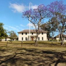
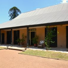
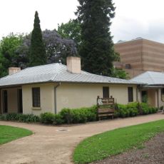
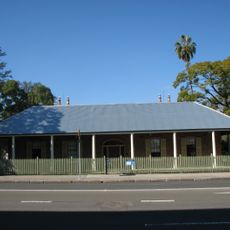
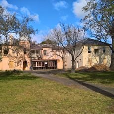
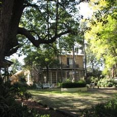
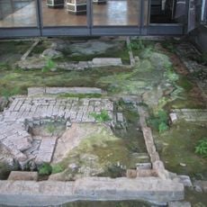
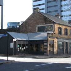
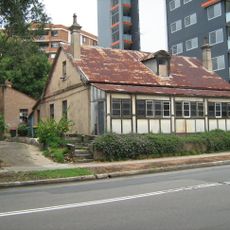
European settlers founded one of the first colonies outside Sydney Cove here in 1788 and used the land for farming. The settlement grew into a major trading point during the 19th century and later developed into a center for administration and industry.

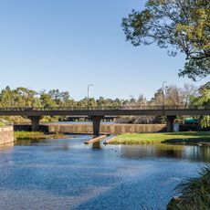
The name originates from the Dharuk language word Baramada, referring to the place where eels gather in the Parramatta River.

Public transport connects the district regularly to central Sydney and surrounding suburbs. Most shops, parks and pedestrian zones are within walking distance of the train station.

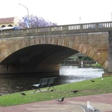
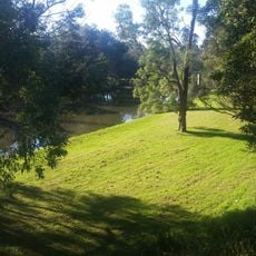
The area sits at the turning point of the river tidal limit, which once made settlement easier. The river section still shows the shift between fresh and salt water depending on the tide.

The community of curious travelers

AroundUs brings together thousands of curated places, local tips, and hidden gems, enriched daily by 60,000 contributors worldwide.

Start exploring
Location
Location
Inception
1788
Elevation above the sea
26 m
Shares border with
Merrylands, Granville, Harris Park, Rosehill, Rydalmere, North Parramatta, Oatlands, Dundas, Camellia, Mays Hill, Westmead
GPS coordinates
-33.81500,151.00111
Latest update
December 13, 2025 15:33
« Parramatta - Electoral division in New South Wales, Australia » is provided by Around Us (aroundus.com). Images and texts are derived from Wikimedia project under a Creative Commons license. You are allowed to copy, distribute, and modify copies of this page, under the conditions set by the license, as long as this note is clearly visible.

Discover hidden gems everywhere you go!

From secret cafés to breathtaking viewpoints, skip the crowded tourist spots and find places that match your style. Our app makes it easy with voice search, smart filtering, route optimization, and insider tips from travelers worldwide. Download now for the complete mobile experience.

Around Us App Screenshot

A unique approach to discovering new places

Le Figaro

All the places worth exploring

France Info

A tailor-made excursion in just a few clicks

20 Minutes

Around Us
Travel Guide & Maps
Download

Send to your phone

QR Code
1

Open the camera app on your mobile.

2

Point at the QR code with your camera. A notification will appear.

3

Tap the notification to open the link.