
Barrington Tops, locality in New South Wales, Australia
Location: Mid-Coast Council
GPS coordinates: -32.02333,151.48444
Latest update: April 17, 2025 00:25
Gondwana Rainforests of Australia
324.4 km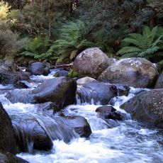
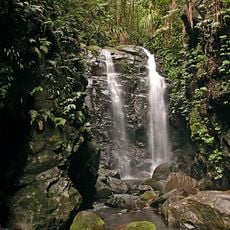
Barrington Tops National Park
3.2 km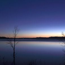
Glenbawn Dam
47.9 km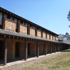
Tocal College
68.3 km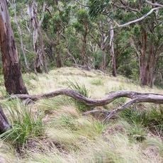
Mount Royal National Park
26.4 km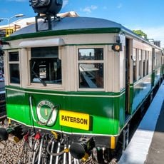
Rail Motor Society
65.6 km
Ghin-Doo-Ee National Park
64.3 km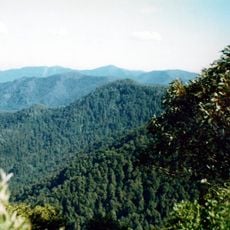
Careys Peak
4.3 km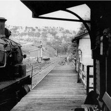
Ardglen Tunnel
72.5 km
Mummel Gulf National Park
80.4 km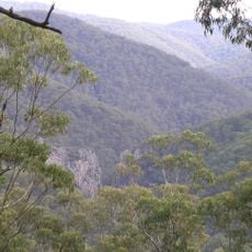
Nowendoc National Park
58.5 km
Ben Halls Gap National Park
54.6 km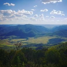
Woko National Park
39.7 km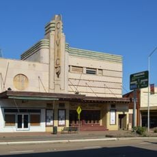
Scone Civic Theatre
58.2 km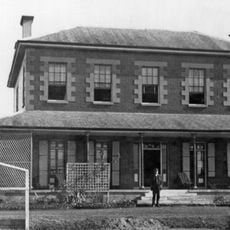
Tocal Homestead
67.6 km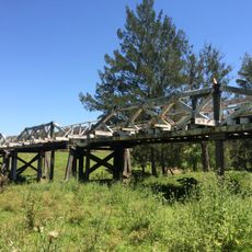
Monkerai Bridge over Karuah River
47 km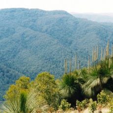
Mount Allyn
12.5 km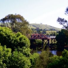
Clarence Town Bridge over Williams River
68.1 km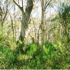
Brumlow Top
4.1 km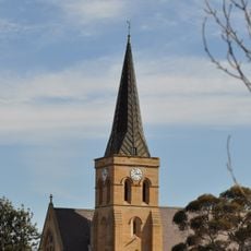
St Alban's Anglican Church
62.3 km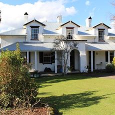
Stroud House
62 km
Cooreei Bridge over Williams River
49.2 km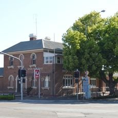
Scone Post Office
58.3 km
St John the Evangelist Anglican Church, Stroud
62.3 km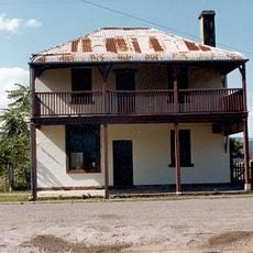
Royal Oak Arms Hotel
65.3 km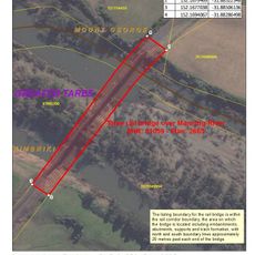
Manning River railway bridge, Taree
66.5 km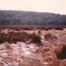
Barrington Tops State Conservation Area
9.1 km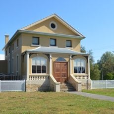
Old Court Theatre
59 kmReviews
Visited this place? Tap the stars to rate it and share your experience / photos with the community! Try now! You can cancel it anytime.
Discover hidden gems everywhere you go!
From secret cafés to breathtaking viewpoints, skip the crowded tourist spots and find places that match your style. Our app makes it easy with voice search, smart filtering, route optimization, and insider tips from travelers worldwide. Download now for the complete mobile experience.

A unique approach to discovering new places❞
— Le Figaro
All the places worth exploring❞
— France Info
A tailor-made excursion in just a few clicks❞
— 20 Minutes