
Wellcamp, locality in Queensland, Australia
Location: Toowoomba Regional
GPS coordinates: -27.55187,151.82195
Latest update: April 20, 2025 11:04
Toowoomba Hospital
12.1 km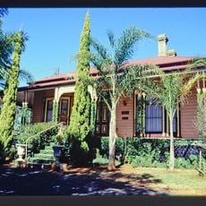
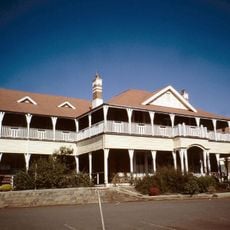
Ascot House
10.6 km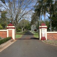
Drayton and Toowoomba Cemetery
10 km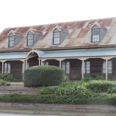
Royal Bull's Head Inn
10.6 km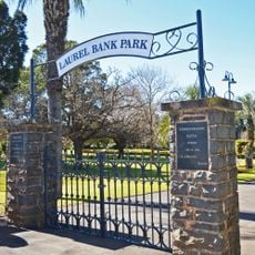
Laurel Bank Park
12.1 km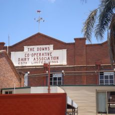
The Downs Co-operative Dairy Association Limited Factory
12.6 km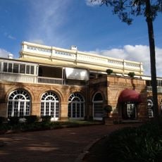
Clifford House, Toowoomba
12.4 km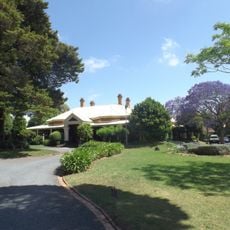
Vacy Hall
12.4 km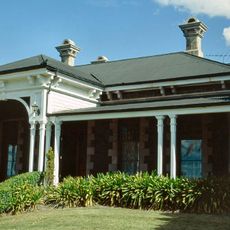
Smithfield House
11.2 km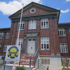
Toowoomba North State School
12.5 km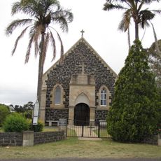
St Matthew's Anglican Church, Drayton
10.3 km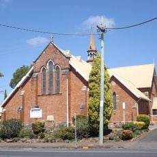
St James Church, Toowoomba
12.6 km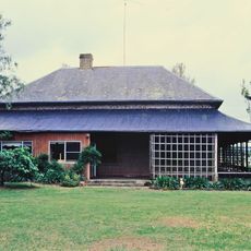
Westbrook Homestead
6.1 km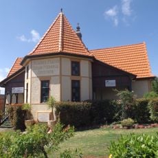
St James Parish Hall, Toowoomba
12.6 km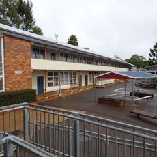
Harristown State High School Buildings
11.1 km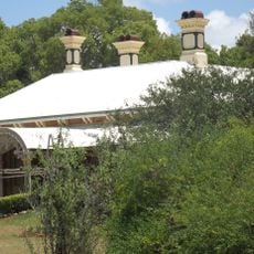
Weetwood, Toowoomba
10.5 km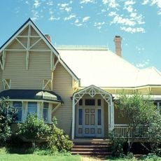
Oak Lodge and Spreydon
11.7 km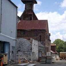
Toowoomba Maltings
12 km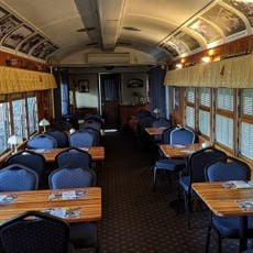
DownsSteam Tourist Railway & Museum
10.4 km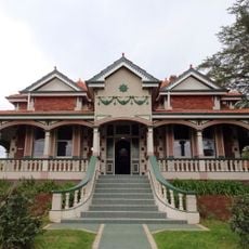
Harris House, Toowoomba
12.4 km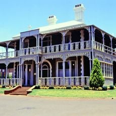
Concordia College Administration Centre
10.9 km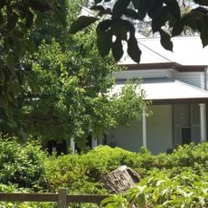
Tor, Toowoomba
10.6 km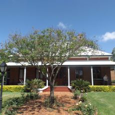
Carlton House, Toowoomba
12.7 km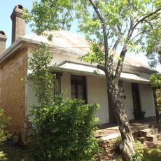
Tawa, Toowoomba
12.1 km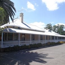
Kensington, Toowoomba
12.3 km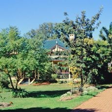
Elphin, Newtown
11.8 km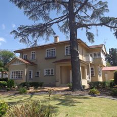
Wislet
12.5 km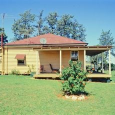
O'Shea's Drayton Cottage
10.8 kmReviews
Visited this place? Tap the stars to rate it and share your experience / photos with the community! Try now! You can cancel it anytime.
Discover hidden gems everywhere you go!
From secret cafés to breathtaking viewpoints, skip the crowded tourist spots and find places that match your style. Our app makes it easy with voice search, smart filtering, route optimization, and insider tips from travelers worldwide. Download now for the complete mobile experience.

A unique approach to discovering new places❞
— Le Figaro
All the places worth exploring❞
— France Info
A tailor-made excursion in just a few clicks❞
— 20 Minutes