
Buderim, locality in Queensland, Australia
Location: Queensland
Location: Sunshine Coast Region
Shares border with: Alexandra Headland, Mooloolaba, Mountain Creek, Sippy Downs, Kuluin, Kunda Park, Maroochydore, Forest Glen, Tanawha, Mons
GPS coordinates: -26.68500,153.05300
Latest update: August 3, 2025 16:24
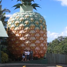
Big Pineapple
6.3 km
Aussie World
7.3 km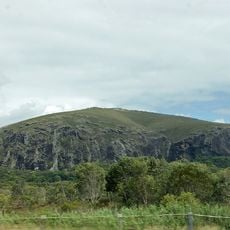
Mount Coolum National Park
14.1 km
Sea Life Sunshine Coast
6.8 km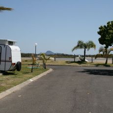
Cotton Tree Caravan Park
6 km
Queensland Air Museum
13.8 km
Wildlife HQ Zoo
6.3 km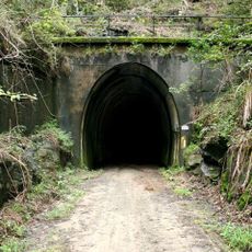
Dularcha Railway Tunnel
14 km
Mooloolah River National Park
6 km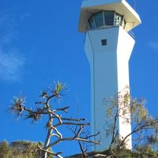
Point Cartwright Light
8.5 km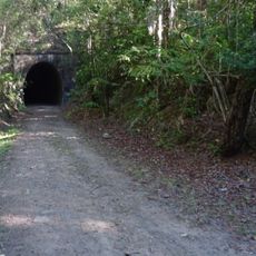
Dularcha National Park
14.9 km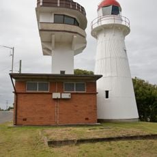
Caloundra Lighthouses
15.4 km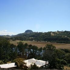
Dunethin Rock
12.7 km
Tripcony Hibiscus Caravan Park
15.2 km
Palmwoods-Buderim Tramway
3.1 km
Old Caloundra Light
15.5 km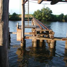
Tramway Lift Bridge over Maroochy River
11.7 km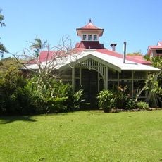
Buderim House
1.2 km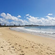
Mooloolaba Beach
7.3 km
New Caloundra Light
15.4 km
Kings Beach Bathing Pavilion
15.9 km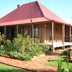
Pioneer Cottage, Buderim
284 m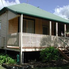
Moreton Central Sugar Mill Worker's Housing
11.4 km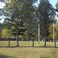
North Coast Roadside Rest Areas
10 km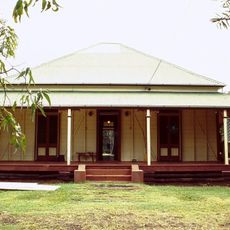
Canambie Homestead
1.8 km
Nambour
11.4 km
Sunshine Castle
7 km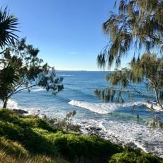
Moffat Beach
14.6 kmReviews
Visited this place? Tap the stars to rate it and share your experience / photos with the community! Try now! You can cancel it anytime.
Discover hidden gems everywhere you go!
From secret cafés to breathtaking viewpoints, skip the crowded tourist spots and find places that match your style. Our app makes it easy with voice search, smart filtering, route optimization, and insider tips from travelers worldwide. Download now for the complete mobile experience.

A unique approach to discovering new places❞
— Le Figaro
All the places worth exploring❞
— France Info
A tailor-made excursion in just a few clicks❞
— 20 Minutes