
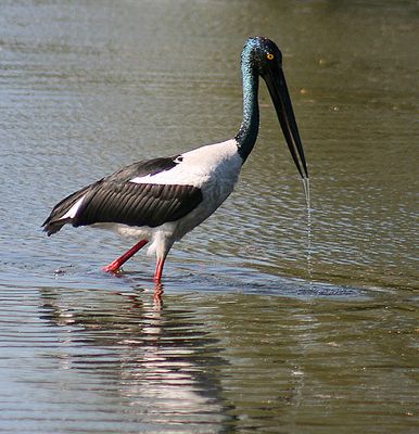
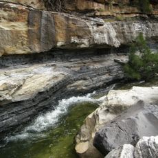
Nairana National Park, national park in Australia
Location: Isaac Regional
Operator: Queensland Department of National Parks, Sport and Racing
GPS coordinates: -21.66003,146.89843
Latest update: March 6, 2025 20:04
Galilee Basin
100.3 km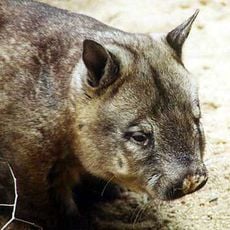
Epping Forest National Park
79.6 km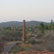
Ravenswood Mining Landscape and Chinese Settlement Area
173.3 km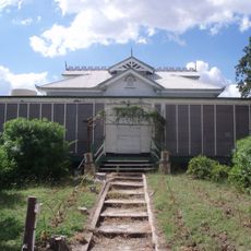
Strathmore Homestead
150 km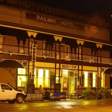
Railway Hotel, Ravenswood
173.7 km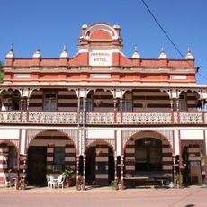
Imperial Hotel, Ravenswood
173.6 km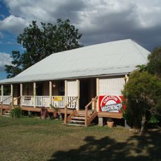
Bowen River Hotel
142.8 km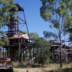
Bowen Consolidated Colliery
153.9 km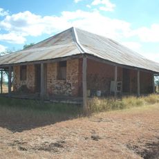
Stone Farm Building
146.4 km
Narrien Range National Park
140.1 km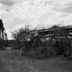
Totley Township
176 km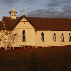
Ravenswood Community Church
173.7 km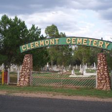
Clermont Cemetery
149.5 km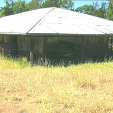
Irlam's Ant Bed Building
141.9 km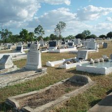
Collinsville Cemetery, Queensland
155.8 km
Cake Shop, Ravenswood
173.5 km
London North Mine
173.9 km
Mabel Mill
173.7 km
Ravenswood School and Residence
173.2 km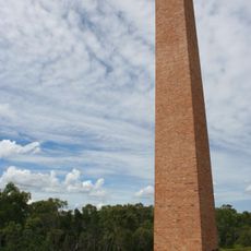
Barclay's Battery
55.2 km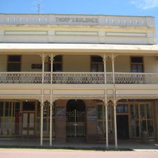
Thorps Building
173.6 km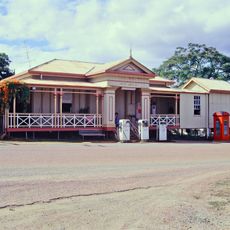
Ravenswood Post Office
173.7 km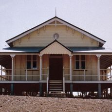
Ravenswood Court House and Police Station
173.8 km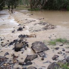
Suttor River Causeway
48.4 km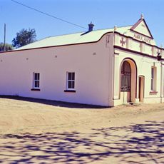
Ravenswood Ambulance Station
173.6 km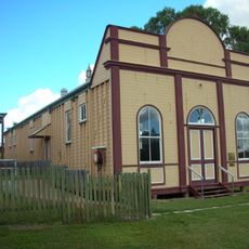
Ravenswood School of Arts
173.5 km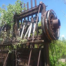
Pandanus Creek Battery
179 km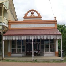
Shop adjacent to Thorps Building
173.6 kmVisited this place? Tap the stars to rate it and share your experience / photos with the community! Try now! You can cancel it anytime.
Discover hidden gems everywhere you go!
From secret cafés to breathtaking viewpoints, skip the crowded tourist spots and find places that match your style. Our app makes it easy with voice search, smart filtering, route optimization, and insider tips from travelers worldwide. Download now for the complete mobile experience.

A unique approach to discovering new places❞
— Le Figaro
All the places worth exploring❞
— France Info
A tailor-made excursion in just a few clicks❞
— 20 Minutes