Ravenswood Mining Landscape and Chinese Settlement Area
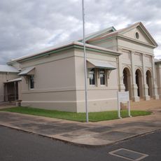
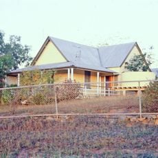
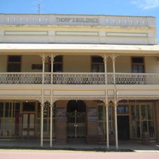
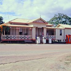
Ravenswood Mining Landscape and Chinese Settlement Area, Former gold mining site and Chinese settlement in Ravenswood, Australia.
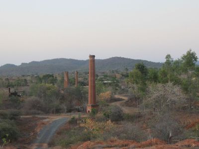
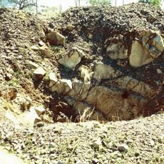
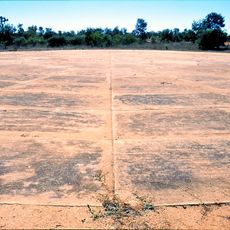
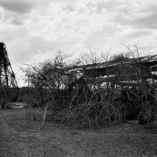
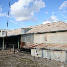
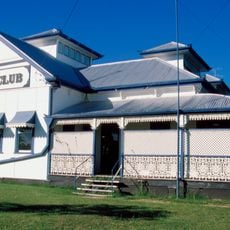
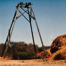
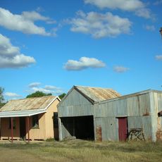
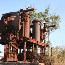
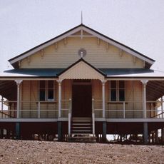
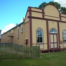
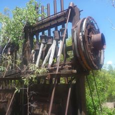
The Ravenswood mining landscape contains the remains of roughly twelve mines, mills, and processing plants scattered across a large area. The site is marked by waste heaps and industrial structures that show how intensively the land was worked.
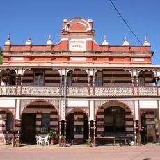
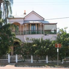
Gold was discovered in 1868, making Ravenswood the first major goldfield in north Queensland and triggering rapid growth. Mining activity peaked in the early 1900s before gradually declining over the following decades.
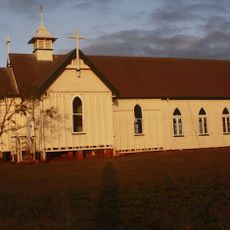
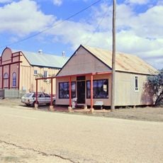
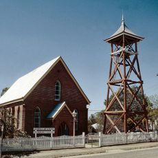
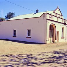
The Chinese residents who arrived during the mining boom left behind a temple and cooking structures that visitors can still see today. These buildings show how the community adapted to life in this remote goldfield region.
You can walk through the landscape on marked paths that connect the different mining remains scattered across the area. Wear sturdy footwear and allow plenty of time to explore the various sites spread over this large heritage zone.
Chinese settlers grew vegetable gardens along a nearby creek, combining food production with mining operations. These gardens were particularly active during the peak years between 1900 and 1908, showing how the community sustained itself.
Location: Queensland
GPS coordinates: -20.10306,146.88570
Latest update: December 13, 2025 11:40
Charters Towers mine shafts
65 km
Burdekin River Rail Bridge
48.1 km
Railway Hotel, Ravenswood
424 m
Imperial Hotel, Ravenswood
547 m
Boer War Veterans Memorial Kiosk and Lissner Park
65.4 km
Ambulance Building, Charters Towers
64.8 km
Ay Ot Lookout
65.2 km
Charters Towers Courthouse
65.4 km
Bore Sight Range and Compass Swinging Platform at Charters Towers Airfield
64.8 km
Totley Township
2.7 km
Ravenswood Community Church
774 m
Venus State Battery
62 km
Cake Shop, Ravenswood
490 m
Stone kerbing, channels and footbridges of Charters Towers
64.2 km
St Columba's Church Bell Tower
65.3 km
Civic Club, Charters Towers
65.2 km
Church of Christ, Charters Towers
65.1 km
London North Mine
555 m
Mabel Mill
387 m
Ravenswood School and Residence
444 m
Burdekin River Pumping Station
61.8 km
Thorps Building
474 m
Ravenswood Post Office
569 m
Ravenswood Court House and Police Station
571 m
Ravenswood Ambulance Station
440 m
Ravenswood School of Arts
495 m
Pandanus Creek Battery
26 km
Shop adjacent to Thorps Building
480 mVisited this place? Tap the stars to rate it and share your experience / photos with the community! Try now! You can cancel it anytime.
Discover hidden gems everywhere you go!
From secret cafés to breathtaking viewpoints, skip the crowded tourist spots and find places that match your style. Our app makes it easy with voice search, smart filtering, route optimization, and insider tips from travelers worldwide. Download now for the complete mobile experience.
A unique approach to discovering new places❞
— Le Figaro
All the places worth exploring❞
— France Info
A tailor-made excursion in just a few clicks❞
— 20 Minutes