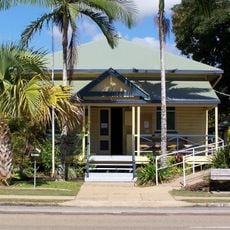
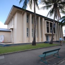
Ingham, Administrative center in Hinchinbrook Shire, Australia.
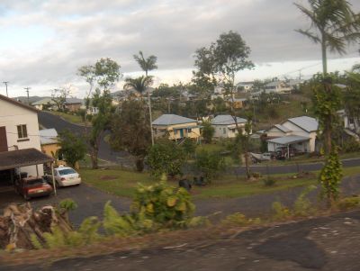
Ingham is the administrative center of Hinchinbrook Shire, a local government area in North Queensland that includes several towns and extensive agricultural land. The town sits in the Herbert River Valley, where sugar cane farming has long been the primary industry for the region.
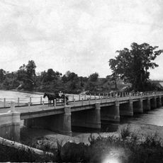
The settlement began in the 1870s and rapidly grew into a major sugar production hub following the development of large plantations in the Herbert River Valley. This growth made the area one of Australia's most important sugar-growing regions.
The area is shaped by Italian families who settled here and developed sugar cane farming, creating a lasting cultural connection to that heritage that remains visible in the community today.
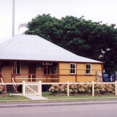
The town offers basic amenities including libraries and local services for visitors exploring the area. The cooler months are more comfortable for visiting, as summers tend to be hot and humid.
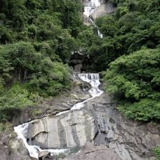
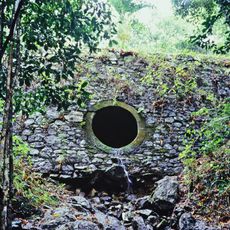
The town sits close to Hinchinbrook Island, separated from the mainland by a narrow waterway that opens up natural recreation opportunities for nearby residents and visitors. This proximity makes it a useful base for exploring the island's national park.
Location: Shire of Hinchinbrook
Elevation above the sea: 16 m
Shares border with: Blackrock, Hawkins Creek, Gairloch, Foresthome, Trebonne, Victoria Plantation, Toobanna
GPS coordinates: -18.65000,146.16667
Latest update: December 7, 2025 10:03
Wallaman Falls
39 km
Orpheus Island National Park
34.8 km
Girringun National Park
78.6 km
Fantome Island Lock Hospital and Lazaret Sites
37.1 km
Paluma Range National Park
63.1 km
Blencoe Falls
81.5 km
Family Islands National Park
78.2 km
Murray Falls
66.7 km
Brook Islands National Park
58 km
Hinchinbrook Island National Park
34.8 km
Goold Island National Park
53.8 km
Little Crystal Creek Bridge
40.2 km
Frosty Mango
35.2 km
Surprise Creek Falls
79.7 km
Cardwell Bush Telegraph
45 km
Gairloch Bridge
4.1 km
Girramay National Park
64.6 km
Cardwell UFO Festival
45.2 km
Cardwell Divisional Board Hall
44.9 km
Banfield Memorial Reserve and Grave
79.6 km
Pelota Mano Court, Trebonne
9.6 km
Tully State School
83.3 km
Stone Bridge, Dalrymple Gap Track
29.4 km
TYTO Regional Art Gallery
1.5 km
Row of Street Trees, Halifax
14.6 km
Ingham Court House
1.1 km
Muralambeen Homestead
9.2 km
Tully Court House
83.5 kmVisited this place? Tap the stars to rate it and share your experience / photos with the community! Try now! You can cancel it anytime.
Discover hidden gems everywhere you go!
From secret cafés to breathtaking viewpoints, skip the crowded tourist spots and find places that match your style. Our app makes it easy with voice search, smart filtering, route optimization, and insider tips from travelers worldwide. Download now for the complete mobile experience.
A unique approach to discovering new places❞
— Le Figaro
All the places worth exploring❞
— France Info
A tailor-made excursion in just a few clicks❞
— 20 Minutes