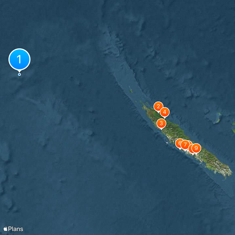
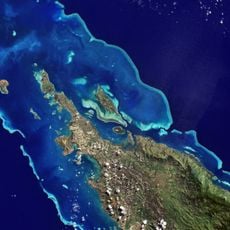
Sandy Island, Phantom island in Coral Sea, New Caledonia.
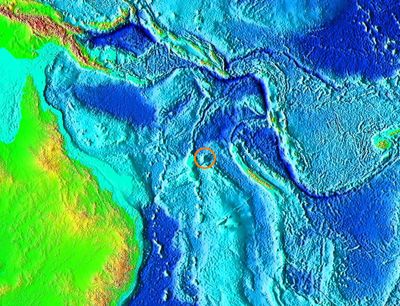
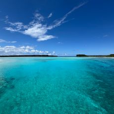
Sandy Island is a phantom island in the eastern Coral Sea between the Chesterfield Islands and Nereus Reef. The marked spot shows only open water today with a depth of roughly 1,474 meters below the surface.
British naval charts recorded the island from 1876 after the whaling vessel Velocity reported a sighting. Scientific expeditions removed the entry only in 2012 after sonar surveys found no landmass.
Mariners assigned names to the supposed islet in several languages, including Île de Sable in French or Isla Arenosa in Spanish. These labels recall the era when charts relied on oral reports from whalers and captains.
Modern navigation systems show only deep sea at this coordinate with no reefs or shallows. Anyone crossing the zone sees nothing but the waves of the Pacific in all directions.
The research vessel Southern Surveyor reached the marked position in November 2012 and confirmed with sonar that only deep ocean exists. The news spread worldwide because online map services continued showing the island for years after its debunking.
The community of curious travelers
AroundUs brings together thousands of curated places, local tips, and hidden gems, enriched daily by 60,000 contributors worldwide.