Gogorotou, Summit in New Caledonia, France.
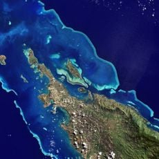
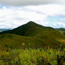
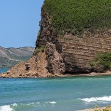
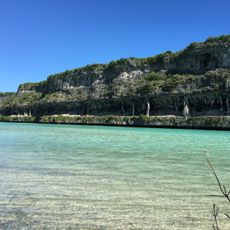
Gogorotou is a 101 meter peak in New Caledonia where coastal and inland vegetation patterns meet and create distinct ecological zones. The terrain displays a clear separation between these plant communities as you move across the summit area.
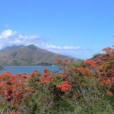
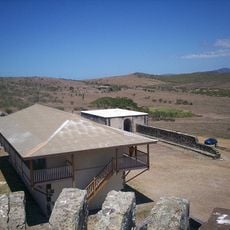
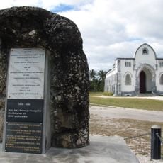
The summit area served as a settlement zone for Kanak peoples for many centuries before Europeans arrived to explore the territory. James Cook documented this island in 1774, marking the beginning of European mapping of the region.
The name Gogorotou comes from the Kanak language and represents the indigenous bond with the natural world around New Caledonia. The different vegetation zones visible from here reflect how people have historically understood and organized this landscape.
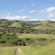
Marked paths lead to the summit and you should wear proper hiking shoes with plenty of water, especially during the dry season. Conditions here vary with the weather, so checking on current access details before you go is always a good idea.
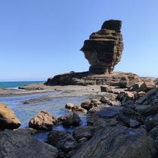
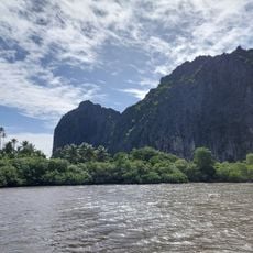
The rock composition of this summit reveals mineral formations that show the volcanic origins of New Caledonia's landscape. These stones tell the story of ancient tectonic activity that shaped these islands millions of years ago.
The community of curious travelers
AroundUs brings together thousands of curated places, local tips, and hidden gems, enriched daily by 60,000 contributors worldwide.