Cape Melville National Park, Nature reserve on Cape York Peninsula, Australia
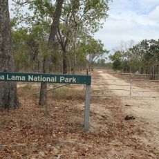
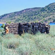
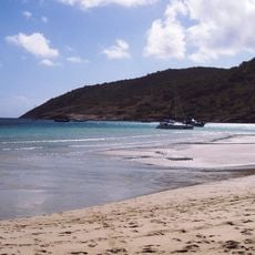
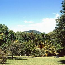
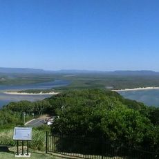
Cape Melville National Park (Cape York Peninsula Aboriginal Land) is a protected area in the Shire of Cook, Queensland, 1,711 km northwest of Brisbane. It takes in the rocky headlands of Cape Melville, the granite boulders of the Melville Range and the sandstone outcrops of the Altanmoui Range, plus beaches along Bathurst Bay. Mangroves, rainforest, heathland, woodland and grassland grow across terrain averaging 43 m in elevation.
The area was gazetted as Cape Melville National Park and renamed Cape Melville National Park (Cape York Peninsula Aboriginal Land) on 28 November 2013. The Othawa Aboriginal people live on the park's land, and their long tradition is recorded in rock paintings, burial mounds and shell middens. In 2013 a National Geographic expedition found three previously unknown animal species: the Cape Melville leaf-tailed gecko, a golden skink and the blotched boulder-frog.
The Othawa Aboriginal people live in the park area, and their long tradition can be read from rock paintings, burial mounds and shell middens (Køkkenmøddinger) in the park. These traces record generations of use of the land.
Four-wheel-drive vehicles are necessary to reach the park via rough unpaved roads from Cooktown, with the dry season from August to November offering the best travel conditions. Visitors should prepare for remote conditions and check weather and road status before heading out.
Scientists discovered three previously unknown animal species here in 2013: a leaf-tail gecko, a golden skink, and a frog. These findings highlight how remote areas like this still hold secrets waiting to be found by researchers.
The community of curious travelers
AroundUs brings together thousands of curated places, local tips, and hidden gems, enriched daily by 92,789 contributors worldwide.