Lizard Island National Park, Nature reserve on Great Barrier Reef, Australia.
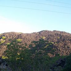
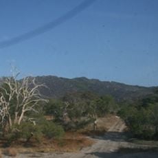
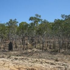
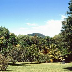
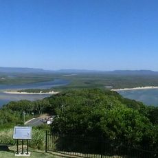
Lizard Island National Park covers a 9.91 km² granite island rising to 359 m, with four smaller islands to the south: Osprey, Palfrey, South and the Seabird Islets, plus Eagle Island to the west. Their reefs enclose a ten-metre-deep blue lagoon. Over half the island is grassland, with eucalyptus and acacia woodland, heath and mangrove swamps.
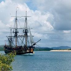
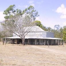
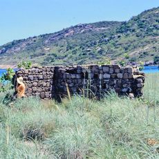
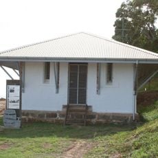
The Dingaal Aboriginal people called the island Dyiigurra and used it for initiation and fishing before Europeans arrived. In 1770 Captain James Cook named it after the monitor lizards he saw, and climbed its highest peak, now Cook's Look, to find a passage through the reefs. In the 1860s trepang fishers used the island as a base; in 1879 Captain Robert Watson and his wife Mary built a hut whose ruins remain. The island group became a national park in 1939.
The Dingaal people call the island Dyiigurra, a sacred site used to initiate young men and to catch shellfish, turtles, dugongs and fish. They see the Lizard Island Group as a stingray in the Dreamtime, with Lizard Island its body and three other islands its tail; the Dingiil call it Jiigurru.
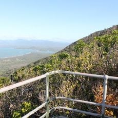
The island is reached by boat or helicopter, with camping grounds available in the main bay equipped with facilities and picnic areas. Walking trails crisscross the island at different difficulty levels, offering views over the water.
A marine research station on the island has been studying coral ecosystems since 1973, contributing important findings to global science. The fieldwork conducted there has helped scientists worldwide understand how climate changes affect reef health.
The community of curious travelers
AroundUs brings together thousands of curated places, local tips, and hidden gems, enriched daily by 92,738 contributors worldwide.