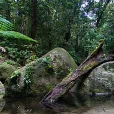
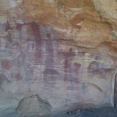
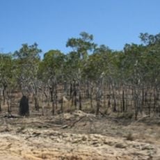
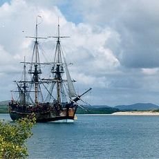
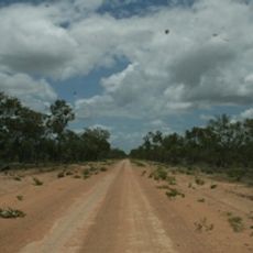
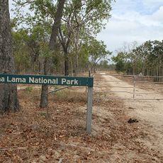
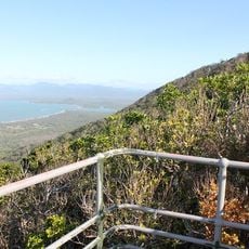
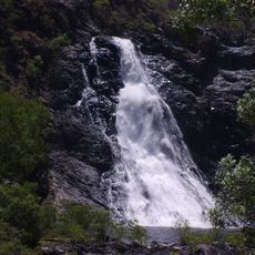
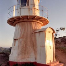
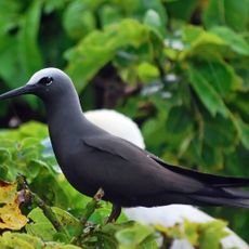
Shire of Cook, local government area of Queensland, Australia
Location: Queensland
Inception: 1919
Capital city: Cooktown
Elevation above the sea: 8 m
Website: https://cook.qld.gov.au
GPS coordinates: -15.46817,145.25056
Latest update: March 4, 2025 04:30
Daintree National Park
92.8 km
Quinkan rock art
97.4 km
Kalkajaka National Park
22 km
Cape Melville National Park (Cape York Peninsula Aboriginal Land)
146.1 km
Kutini-Payamu National Park
380.8 km
Apudthama National Park
538.6 km
Rinyirru (Lakefield) National Park
141.6 km
Hope Islands National Park
96.2 km
Juunju Daarrba Nhirrpan National Park (Cape York Peninsula Aboriginal Land)
62 km
Endeavour River National Park
4.6 km
Oyala Thumotang National Park
337.5 km
Lama Lama National Park
216.1 km
Mount Cook National Park
2.9 km
Bloomfield Falls
55.1 km
Grassy Hill Light
958 m
Claremont Isles National Park
234.4 km
Piper Islands National Park
420.3 km
Wenlock Goldfield
363.4 km
Old Laura Homestead
86.6 km
Alwal National Park
181.7 km
Raine Island Beacon
451.2 km
Laura to Maytown Coach Road
116.7 km
Archer Point Light
16.3 km
Wuthathi (Saunders Islands) National Park (Cape York Peninsula Aboriginal Land)
473.3 km
Turtle Group National Park
81.7 km
Ngalba Bulal National Park
50.3 km
Sir Charles Hardy Group National Park
441.4 km
Cooktown Cemetery
1.3 kmReviews
Visited this place? Tap the stars to rate it and share your experience / photos with the community! Try now! You can cancel it anytime.
Discover hidden gems everywhere you go!
From secret cafés to breathtaking viewpoints, skip the crowded tourist spots and find places that match your style. Our app makes it easy with voice search, smart filtering, route optimization, and insider tips from travelers worldwide. Download now for the complete mobile experience.
A unique approach to discovering new places❞
— Le Figaro
All the places worth exploring❞
— France Info
A tailor-made excursion in just a few clicks❞
— 20 Minutes