Kutini-Payamu National Park, Nature reserve in Lockhart River Aboriginal Shire, Australia.
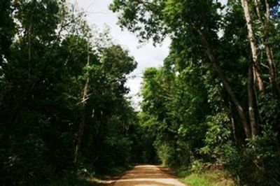
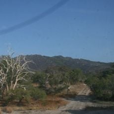
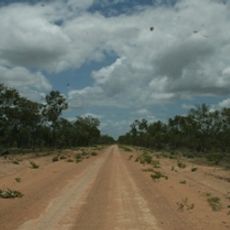
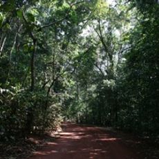
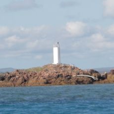
Kutini-Payamu is a nature reserve on Queensland's far north coast, combining coastal rainforest, beaches, and elevated mountain terrain in a single protected area. The landscape transitions from flat shorelines to higher mountain zones, creating distinct environments within its boundaries.
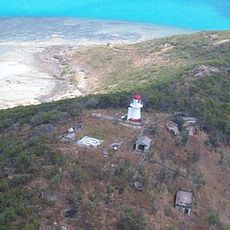
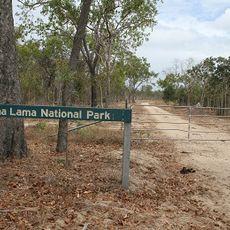
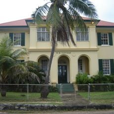
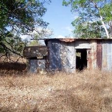
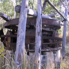
The protected area was established in 1977 to safeguard important natural habitats after decades of varied land use. During World War II, Australian Army forces operated in this region as part of coastal defense efforts.
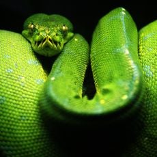
The name brings together Aboriginal words Kutini for Cassowary and Payamu for Rainbow Snake, representing Indigenous connection to this land. You sense this cultural meaning woven into the landscape as you explore the terrain.
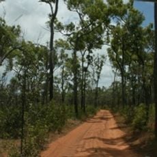
Access is via Peninsula Developmental Road and requires a four-wheel drive vehicle to navigate the terrain reliably in changing conditions. The park offers several designated camping zones where you can stay overnight during your visit.
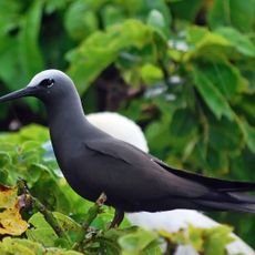
The park shelters a significant portion of Australia's butterfly species, making it an important refuge for insects found nowhere else. This abundance of specialized wildlife appeals strongly to nature watchers exploring the region.
Location: Lockhart River Aboriginal Shire
Operator: Queensland Department of Environment and Science
GPS coordinates: -12.62518,143.29004
Latest update: December 12, 2025 09:02
Cape Melville National Park (Cape York Peninsula Aboriginal Land)
234.7 km
Apudthama National Park
158.6 km
Goods Island Light
260.7 km
Oyala Thumotang National Park
118.8 km
Lama Lama National Park
200 km
Quetta Memorial Precinct
255.7 km
Our Lady of the Sacred Heart Church, Thursday Island
255.7 km
Claremont Isles National Park
154.4 km
Piper Islands National Park
43 km
Wenlock Goldfield
63.9 km
Eborac Island Light
231.5 km
Raine Island Beacon
140.9 km
Wuthathi (Saunders Islands) National Park (Cape York Peninsula Aboriginal Land)
97.7 km
Wyborn Reef Light
208.7 km
Sir Charles Hardy Group National Park
82.3 km
Musgrave Telegraph Station
241.1 km
Musgrave
241.1 km
Denham Group National Park
130.1 km
Coen Carrier Station
146.7 km
Thursday Island Customs House
255.3 km
Lockerbie Scrub
221.6 km
Ebagoola Township and Battery
186.6 km
Gordon's Mine and Mill
10.1 km
Possession Island National Park
232.8 km
KULLA (McIlwraith Range) National Park (Cape York Peninsula Aboriginal Land)
125.4 km
Green Hill Fort Coastal Artillery
255.9 km
Tuesday Islet Lighthouse
253.2 km
Lion's Lookout
255.7 kmVisited this place? Tap the stars to rate it and share your experience / photos with the community! Try now! You can cancel it anytime.
Discover hidden gems everywhere you go!
From secret cafés to breathtaking viewpoints, skip the crowded tourist spots and find places that match your style. Our app makes it easy with voice search, smart filtering, route optimization, and insider tips from travelers worldwide. Download now for the complete mobile experience.
A unique approach to discovering new places❞
— Le Figaro
All the places worth exploring❞
— France Info
A tailor-made excursion in just a few clicks❞
— 20 Minutes