Lama Lama National Park, Nature reserve in Cook Shire, Queensland, Australia.
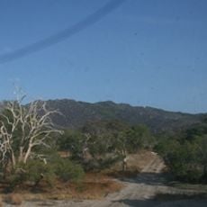
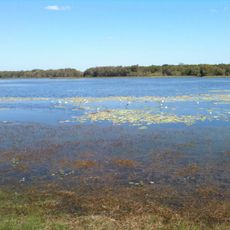
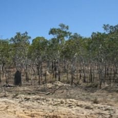
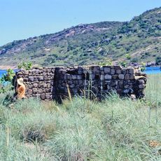
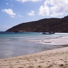
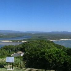
Lama Lama National Park covers about 355 square kilometres of the Annie River catchment, from sandy hills in the west down to low-lying mudflats threaded by small creeks. The Annie River forms its southern boundary, and the eastern edge meets Princess Charlotte Bay and Rinyirru National Park. Darwin stringybark (Eucalyptus tetrodonta) woodlands grow on the sand plateaus.
The reserve was established in 2008 as Queensland's first jointly managed protected area between the government and traditional landowners. This partnership model set a new approach for conservation in the state.
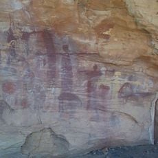
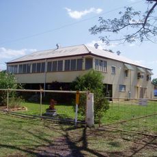
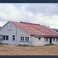
The park's name comes from the Lama Lama people, its traditional owners, who jointly manage it with the Queensland government under the Cape York Peninsula Aboriginal Land (CYPAL) status. Some Aboriginal cultural sites lie within the park and may not be entered. The two former properties that formed the park were Running Creek and Lilyvale.
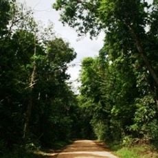
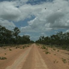
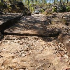
Access is via Lilyvale Road, which branches east off the Peninsula Developmental Road roughly halfway between Cooktown and Weipa. The park lies about 70 km south-east of Coen in the locality of Yarraden. Some Aboriginal cultural sites inside the park are closed to visitors and must not be entered.
Lama Lama was the first national park in Queensland run under a Cape York Peninsula Aboriginal Land agreement, opened in July 2008. The two cattle properties that formed it were Running Creek and Lilyvale, and Lilyvale Road still branches east off the Peninsula Developmental Road into the park.
The community of curious travelers
AroundUs brings together thousands of curated places, local tips, and hidden gems, enriched daily by 93,339 contributors worldwide.