Musgrave, Civil parish in Queensland, Australia
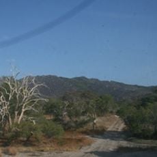
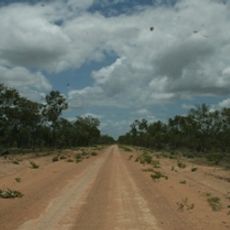
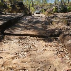
Musgrave is a civil parish within the Shire of Cook local government area in remote northern Queensland. The region is accessed by the Peninsula Development Road and features sparse settlement with limited central facilities.
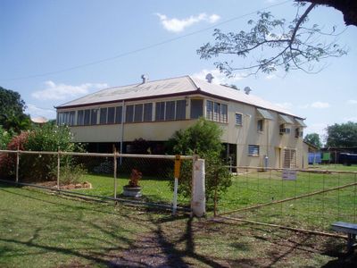
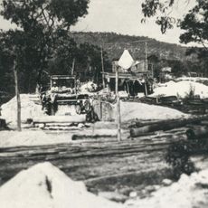
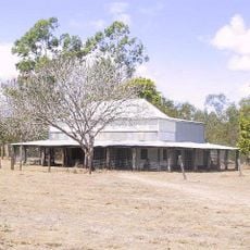
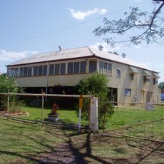
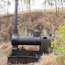
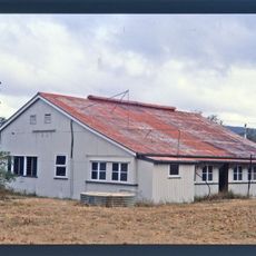
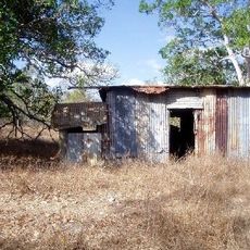
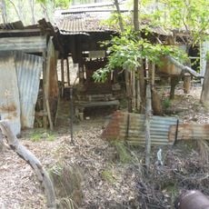
The settlement developed around a telegraph station that was part of Queensland's early communication network. This facility later evolved into a roadhouse, which continues to serve as the main landmark in the area.
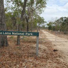
The area holds connections to the Yetteneru people, who have long inhabited these lands and shaped the eastern parts of the region. These ties remain woven into the local identity and landscape.
The location is accessible by car via the Peninsula Development Road, making it a convenient stop for travelers passing through. Visitors should be aware that the area is remote with limited services nearby.
The former telegraph station was repurposed into a functioning roadhouse that still serves travelers with basic supplies today. This transformation shows how Australia's old communication posts became vital rest stops for modern journeys.
Location: Queensland
GPS coordinates: -14.78077,143.50372
Latest update: December 14, 2025 18:08
Quinkan rock art
151.4 km
Cape Melville National Park (Cape York Peninsula Aboriginal Land)
113.4 km
Rinyirru (Lakefield) National Park
61.2 km
Juunju Daarrba Nhirrpan National Park (Cape York Peninsula Aboriginal Land)
168.6 km
Endeavour River National Park
198.3 km
Oyala Thumotang National Park
153.8 km
Lama Lama National Park
43 km
Claremont Isles National Park
97.9 km
Wenlock Goldfield
197.8 km
Old Laura Homestead
119.9 km
Alwal National Park
47.8 km
Laura to Maytown Coach Road
159.9 km
Turtle Group National Park
182.7 km
Cooktown Cemetery
202.1 km
Musgrave Telegraph Station
2.1 km
Anglo Saxon Mine
201.1 km
Coen Carrier Station
99.2 km
Palmer River Gold Company Dredge
124.5 km
Alexandra Mine and Battery
170.8 km
Annan River Bridge
202.5 km
Ebagoola Township and Battery
59.3 km
Errk Oykangand National Park
168.6 km
Cook Shire Council Chambers
202.5 km
Wild Irish Girl Mine and Battery
159.9 km
Cooks Monument and Reserve
202.5 km
Stonyville Township
187.5 km
KULLA (McIlwraith Range) National Park (Cape York Peninsula Aboriginal Land)
115.7 km
Bicentennial Park
202.3 kmVisited this place? Tap the stars to rate it and share your experience / photos with the community! Try now! You can cancel it anytime.
Discover hidden gems everywhere you go!
From secret cafés to breathtaking viewpoints, skip the crowded tourist spots and find places that match your style. Our app makes it easy with voice search, smart filtering, route optimization, and insider tips from travelers worldwide. Download now for the complete mobile experience.
A unique approach to discovering new places❞
— Le Figaro
All the places worth exploring❞
— France Info
A tailor-made excursion in just a few clicks❞
— 20 Minutes