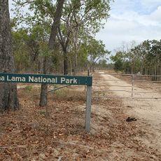
Wenlock Goldfield, Heritage-listed gold mine in Cape York Peninsula, Australia
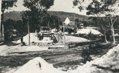
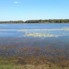
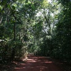
Wenlock Goldfield stretches along the eastern bank of the Wenlock River as a series of mining areas containing multiple shafts and surface workings. Six separate zones connected by pathways display evidence of both shallow and deep excavation techniques used during its operational years.
William Baird discovered gold at Retreat Creek in 1892, leading to the official establishment of the Batavia Goldfield, which later became known as Wenlock Goldfield. This discovery brought miners to the remote region and shaped its development across several decades.
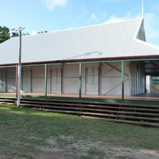
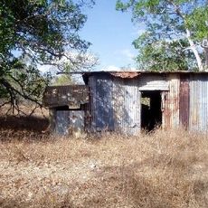
The settlement of Lower Camp developed into Wenlock township in 1938, and remnants of mango trees and building foundations remain visible today. These traces show how miners lived and spent their daily time in this remote location.
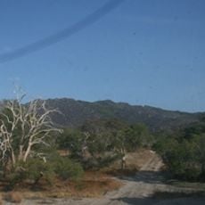
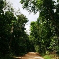
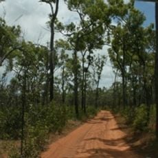
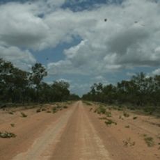
Visitors should prepare for remote terrain and uneven ground, as the site is located in a sparsely populated region. Sturdy footwear and sun protection are recommended when exploring the various mining areas.
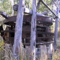
During World War II, the Australian Army removed portable mining equipment from the site to prevent potential use by Japanese forces in case of invasion. This unusual wartime measure shows how deeply the threat of conflict affected this remote location.
Location: Queensland
GPS coordinates: -13.08940,142.94350
Latest update: December 14, 2025 13:03
Cape Melville National Park (Cape York Peninsula Aboriginal Land)
220 km
Kutini-Payamu National Park
63.9 km
Apudthama National Park
196 km
Rinyirru (Lakefield) National Park
243.5 km
Oyala Thumotang National Park
56.7 km
Lama Lama National Park
161 km
Quetta Memorial Precinct
290 km
Our Lady of the Sacred Heart Church, Thursday Island
290 km
Claremont Isles National Park
128.9 km
Piper Islands National Park
99 km
Eborac Island Light
271.7 km
Alwal National Park
245.2 km
Raine Island Beacon
204.8 km
Wuthathi (Saunders Islands) National Park (Cape York Peninsula Aboriginal Land)
147.9 km
Wyborn Reef Light
253.4 km
Sir Charles Hardy Group National Park
143.4 km
Musgrave Telegraph Station
197.3 km
Musgrave
197.8 km
Denham Group National Park
178.6 km
Coen Carrier Station
98.6 km
Thursday Island Customs House
289.7 km
Lockerbie Scrub
259.7 km
Ebagoola Township and Battery
139.3 km
Errk Oykangand National Park
280.7 km
Gordon's Mine and Mill
56.7 km
Possession Island National Park
269.8 km
KULLA (McIlwraith Range) National Park (Cape York Peninsula Aboriginal Land)
88.2 km
Tuesday Islet Lighthouse
290.1 kmVisited this place? Tap the stars to rate it and share your experience / photos with the community! Try now! You can cancel it anytime.
Discover hidden gems everywhere you go!
From secret cafés to breathtaking viewpoints, skip the crowded tourist spots and find places that match your style. Our app makes it easy with voice search, smart filtering, route optimization, and insider tips from travelers worldwide. Download now for the complete mobile experience.
A unique approach to discovering new places❞
— Le Figaro
All the places worth exploring❞
— France Info
A tailor-made excursion in just a few clicks❞
— 20 Minutes