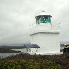
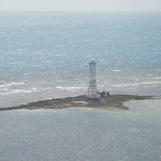
Denham Group National Park, Nature reserve in Cook Shire, Australia.
Description
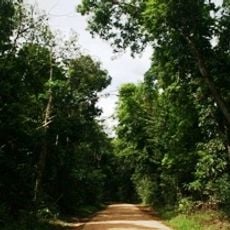
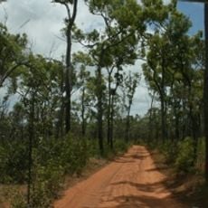
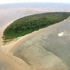
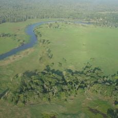
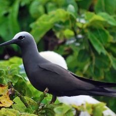
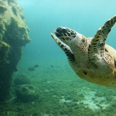
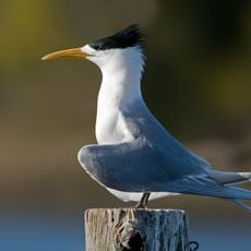
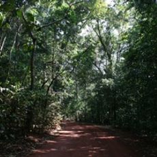
Denham Group National Park is a protected area in Cook Shire featuring wetlands, eucalyptus forests, and coastal zones. These habitats support numerous native animal and plant species across different environments within its boundaries.
History
The protected area was established in 1989 by Queensland environmental authorities to conserve local ecological systems. This designation marked a commitment to preserving the region's natural diversity for future generations.
Culture
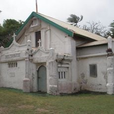
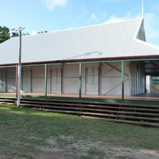
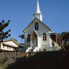
The park holds several sites of significance to the Aboriginal peoples of the region, reflecting generations of connection to this landscape. Visitors walking through the area can sense the deep cultural ties that indigenous communities maintain with these lands.
Practical
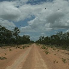
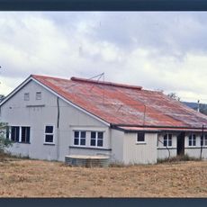
Access is through local roads and facilities within the park are limited, so visitors should plan accordingly. Birdwatching and nature photography work best during early morning hours when wildlife is most active.
Did you know?
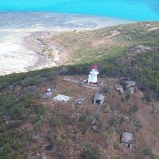
The park's location creates specific environmental conditions that shape how native species adapt and thrive. This geographical positioning makes the area particularly interesting for observing natural diversity.
AroundUs brings together thousands of curated places, local tips, and hidden gems, enriched daily by 60,000 contributors worldwide. Discover all places nearby (Cook Shire).
Kutini-Payamu National Park
130.1 km
Apudthama National Park
45.1 km
Booby Island Light
156.1 km
Warul Kawa Indigenous Protected Area
270.6 km
All Saints Anglican Church, Darnley Island
225.3 km
Goods Island Light
139.8 km
Oyala Thumotang National Park
234.2 km
Quetta Memorial Precinct
133.7 km
Our Lady of the Sacred Heart Church, Thursday Island
133.6 km
Tonda Wildlife Management Area
320.5 km
Claremont Isles National Park
284.1 km
Piper Islands National Park
87.2 km
Wenlock Goldfield
178.6 km
Eborac Island Light
104.2 km
Raine Island Beacon
111.1 km
Wuthathi (Saunders Islands) National Park (Cape York Peninsula Aboriginal Land)
32.4 km
Wyborn Reef Light
79 km
Sir Charles Hardy Group National Park
66.7 km
Coen Carrier Station
273.8 km
Thursday Island Customs House
133.1 km
Lockerbie Scrub
96.8 km
Ebagoola Township and Battery
314.5 km
Gordon's Mine and Mill
140.1 km
Possession Island National Park
108.7 km
KULLA (McIlwraith Range) National Park (Cape York Peninsula Aboriginal Land)
254.9 km
Green Hill Fort Coastal Artillery
133.9 km
Tuesday Islet Lighthouse
128.4 km
Lion's Lookout
133.1 kmDiscover hidden gems everywhere you go!
From secret cafés to breathtaking viewpoints, skip the crowded tourist spots and find places that match your style. Our app makes it easy with voice search, smart filtering, route optimization, and insider tips from travelers worldwide. Download now for the complete mobile experience.
A unique approach to discovering new places❞
— Le Figaro
All the places worth exploring❞
— France Info
A tailor-made excursion in just a few clicks❞
— 20 Minutes