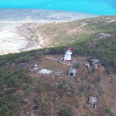
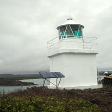
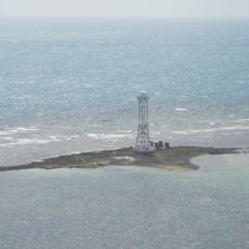
Raine Island Beacon, Heritage-listed beacon on Raine Island, Queensland.
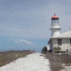
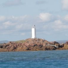
Raine Island Beacon is a limestone lighthouse tower on an island off Queensland's coast, built with a cylindrical form that tapers in four steps toward a crenellated parapet. The structure stands 12 meters tall with a 9-meter base diameter and contains three internal levels originally connected by wooden ladders.
Convict laborers built this navigational structure in 1844 using local materials, including coral limestone and shells burned for mortar from the Martha Ridgway shipwreck. The construction served to guide vessels through the treacherous waters surrounding the Great Barrier Reef.
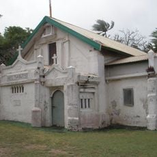
The entrance bears the inscription VR and the year 1844, while interior walls hold messages from sailors who sought shelter within this structure. These markings reveal how travelers experienced this beacon as a place of human connection across generations.
The beacon remains visible from 13 nautical miles away and served as a reliable guide for sailors navigating this region. Being located on a remote island means visitors should expect boat travel, and island access depends on weather conditions.
This structure stands as the oldest European building in tropical Australia and was constructed to guide ships through one of the world's most treacherous waterways. The combination of its historical significance and remote location makes it a distinctive place with deep ties to early European settlement.
The community of curious travelers
AroundUs brings together thousands of curated places, local tips, and hidden gems, enriched daily by 60,000 contributors worldwide.