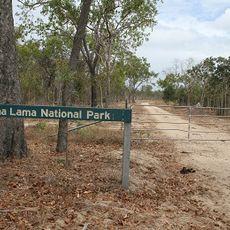
Sir Charles Hardy Group National Park, Protected national park in Far North Queensland, Australia
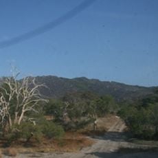
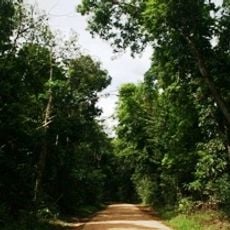
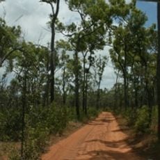
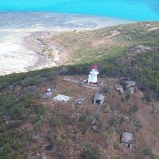
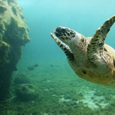
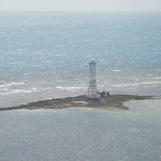
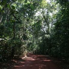
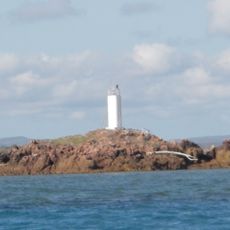
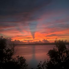
Sir Charles Hardy Group National Park is a protected coastal area in Far North Queensland with diverse landscapes ranging from beaches to forests. The park spreads across a large territory with shorelines, woodlands, and waterfront regions facing open waters.
The park became a protected area in 1989 and was initially managed by state authorities. In 2016, it was handed over to the Wuthathi people, recognizing their historical connection to the land.
The land belongs to the Wuthathi people, who live here and care for it as their country. It holds deep meaning for their way of life and connection to the environment.
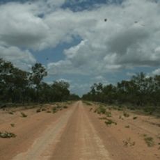
The park is located in a remote northern region and requires proper planning for a visit. It helps to check local access conditions and weather patterns before traveling, as the area is not easily accessible from major population centers.
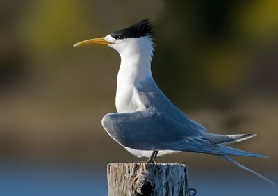
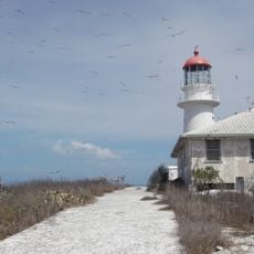
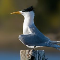
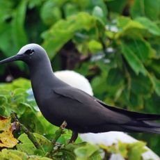
The park is home to specialized coastal bird species like Crested Terns that gather in large numbers throughout the protected area. These bird colonies reveal the ecological importance of this coastal landscape in supporting species that depend on remote marine habitats.
Location: Queensland
Inception: 1989
GPS coordinates: -11.90444,143.46056
Latest update: December 14, 2025 17:44
Cape Melville National Park (Cape York Peninsula Aboriginal Land)
297.8 km
Kutini-Payamu National Park
82.3 km
Apudthama National Park
109.2 km
Booby Island Light
222.6 km
All Saints Anglican Church, Darnley Island
258.9 km
Goods Island Light
206.5 km
Oyala Thumotang National Park
199.8 km
Lama Lama National Park
278.1 km
Quetta Memorial Precinct
200.3 km
Our Lady of the Sacred Heart Church, Thursday Island
200.3 km
Claremont Isles National Park
228.4 km
Piper Islands National Park
45.6 km
Wenlock Goldfield
143.4 km
Eborac Island Light
169.6 km
Raine Island Beacon
71.7 km
Wuthathi (Saunders Islands) National Park (Cape York Peninsula Aboriginal Land)
42.8 km
Wyborn Reef Light
142.1 km
Denham Group National Park
66.7 km
Coen Carrier Station
228.4 km
Thursday Island Customs House
199.7 km
Lockerbie Scrub
163.2 km
Ebagoola Township and Battery
267.7 km
Gordon's Mine and Mill
92 km
Possession Island National Park
175.2 km
KULLA (McIlwraith Range) National Park (Cape York Peninsula Aboriginal Land)
205.2 km
Green Hill Fort Coastal Artillery
200.5 km
Tuesday Islet Lighthouse
194.5 km
Lion's Lookout
199.7 kmVisited this place? Tap the stars to rate it and share your experience / photos with the community! Try now! You can cancel it anytime.
Discover hidden gems everywhere you go!
From secret cafés to breathtaking viewpoints, skip the crowded tourist spots and find places that match your style. Our app makes it easy with voice search, smart filtering, route optimization, and insider tips from travelers worldwide. Download now for the complete mobile experience.
A unique approach to discovering new places❞
— Le Figaro
All the places worth exploring❞
— France Info
A tailor-made excursion in just a few clicks❞
— 20 Minutes