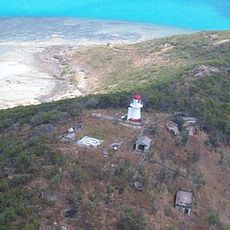
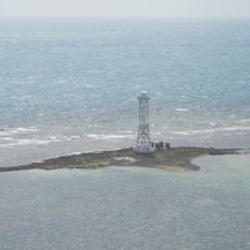
Apudthama National Park, Protected wilderness in Cape York Peninsula, Australia.
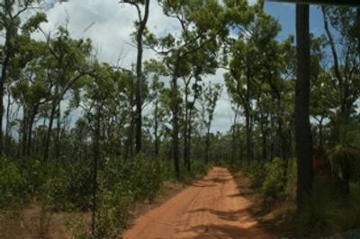
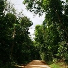
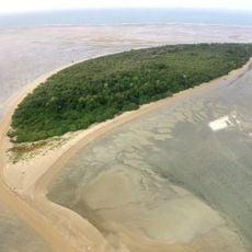
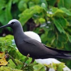
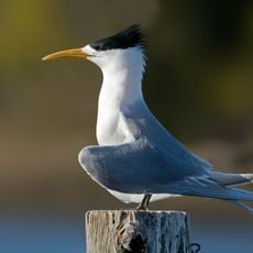
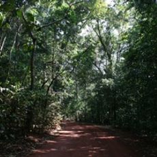
Apudthama National Park is a conservation area spanning 237,000 hectares at the northernmost point of Cape York, combining wetlands, grasslands, forests, and coastal landscapes. These varied ecosystems create different habitats and support a range of plant and animal life across the region.
Queensland began protecting this area in December 1994, establishing it as a conservation project in its early stages. The formal designation as Apudthama National Park came in September 2022, confirming decades of conservation efforts.
The park sits on traditional lands of several Aboriginal groups including the Atambaya, Angkamuthi, Yadhaykenu, Gudang, and Wuthathi, who continue their practices across these landscapes. Visitors can learn about these cultures through guided experiences and by observing how the land reflects long-standing connections between people and place.
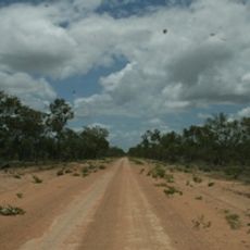
You need a four-wheel-drive vehicle to handle the unsealed roads throughout this area. Camping requires advance reservations through the appropriate government office to secure your site.
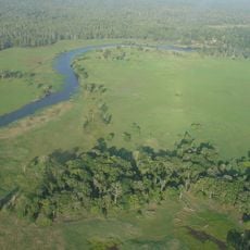
Twin Falls marks where Elliot River and Canal Creek meet, creating a natural waterfall display in the park. Nearby visitors also find Fruit Bat Falls and Savo Falls, adding more water features to explore.
Operator: Queensland Department of Environment and Science
GPS coordinates: -11.35530,142.63011
Latest update: December 12, 2025 14:20
Kutini-Payamu National Park
158.6 km
Booby Island Light
114.7 km
Warul Kawa Indigenous Protected Area
235.1 km
All Saints Anglican Church, Darnley Island
231.6 km
Goods Island Light
102.3 km
Oyala Thumotang National Park
248.3 km
Quetta Memorial Precinct
97.1 km
Our Lady of the Sacred Heart Church, Thursday Island
97.1 km
Tonda Wildlife Management Area
287.8 km
Claremont Isles National Park
312.3 km
Piper Islands National Park
118.4 km
Wenlock Goldfield
196 km
Eborac Island Light
75.7 km
Raine Island Beacon
155.5 km
Wuthathi (Saunders Islands) National Park (Cape York Peninsula Aboriginal Land)
68.4 km
Wyborn Reef Light
61.7 km
Sir Charles Hardy Group National Park
109.2 km
Denham Group National Park
45.1 km
Coen Carrier Station
294.3 km
Thursday Island Customs House
96.7 km
Lockerbie Scrub
63.9 km
Ebagoola Township and Battery
335.1 km
Gordon's Mine and Mill
167.9 km
Possession Island National Park
74.6 km
KULLA (McIlwraith Range) National Park (Cape York Peninsula Aboriginal Land)
279 km
Green Hill Fort Coastal Artillery
97.3 km
Tuesday Islet Lighthouse
95.1 km
Lion's Lookout
97.1 kmVisited this place? Tap the stars to rate it and share your experience / photos with the community! Try now! You can cancel it anytime.
Discover hidden gems everywhere you go!
From secret cafés to breathtaking viewpoints, skip the crowded tourist spots and find places that match your style. Our app makes it easy with voice search, smart filtering, route optimization, and insider tips from travelers worldwide. Download now for the complete mobile experience.
A unique approach to discovering new places❞
— Le Figaro
All the places worth exploring❞
— France Info
A tailor-made excursion in just a few clicks❞
— 20 Minutes