International Date Line, Demarcation line in Pacific Ocean, Antarctica
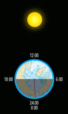
The International Date Line runs through the Pacific Ocean from the North Pole to Antarctica, roughly following the 180th meridian but bending in places to keep island groups on the same calendar. It marks the point on the globe where the calendar date shifts by a full day.
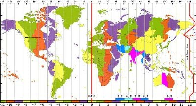
The conference in Washington in 1884 established this date line as part of a worldwide system for keeping time, after centuries of each region setting its own clocks by local custom. Since then, individual countries have adjusted the path several times to avoid splitting their territories.
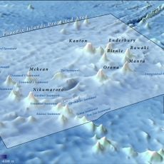
Some Pacific island communities have shifted their time zones to stay aligned with the nations they trade with and feel closest to culturally. These choices reflect how modern life and economic ties often matter more than invisible geographic lines.
Crossing this boundary westward moves the calendar forward by one day, while traveling east sets the date back by one day. Travelers who cross it multiple times can experience the same weekday more than once or skip it entirely.
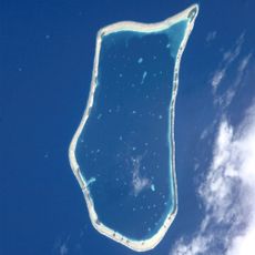
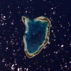
At certain points, this line separates islands only a few kilometers apart by a full 24-hour time difference. This allows someone to theoretically repeat the same action at the same hour on two consecutive days.
The community of curious travelers
AroundUs brings together thousands of curated places, local tips, and hidden gems, enriched daily by 60,000 contributors worldwide.