Chest opened
+${chestReward.xp} XP
Explorer
NOUVEAU ×${chestReward.collectible.quantity}
tapez pour fermer
Chest locked

Open chests in the app

Around Us is built for your phone — chests unlock when you walk, explore and capture nearby places.

Enable Location

We need your location to show you interesting places around you

Discover nearby places

Find interesting locations and hidden gems around you

Precise directions

Get accurate directions and distances to places

Your location is never shared with other users. It's only used when you tap the location button.

Pacific Tsunami Warning Center

Log in to your account

Start exploring — it's free

Trusted by 72,972 travelers worldwide

Continue with Google
Continue with Apple
or

We will send you a code to connect

By continuing, you accept our Terms and Conditions and our Privacy Policy

Check your inbox

We've sent a pincode in your inbox. Please enter the code below.

Pacific Tsunami Warning Center
Discussion Reviews 1 Photos
24.5k Popularity

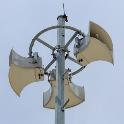
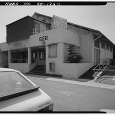
Pacific Tsunami Warning Center, Tsunami warning system in Ewa Beach, Hawaii, United States.

The Pacific Tsunami Warning Center is a government agency in Hawaii that monitors seismic activity and ocean conditions across the entire Pacific region. The facility uses seismographs, tide gauges, and computer models to detect potential tsunamis and issue rapid alerts to emergency officials.

The agency was established in 1949 following the 1946 Aleutian Islands earthquake and tsunami, which killed 173 people in Hawaii and Alaska. That disaster revealed the need for continuous monitoring to protect Pacific coastlines from future events.

The center leads educational initiatives for coastal communities throughout the Pacific region to enhance tsunami preparedness and emergency response protocols.

The facility operates every day around the clock to monitor conditions constantly. Staff can quickly send alerts to coastal authorities whenever signs of a tsunami are detected.

The center uses DART systems, which combine seafloor pressure sensors connected to surface buoys that transmit tsunami data by satellite. This technology enables early detection and extends warning time for communities along threatened coastlines.

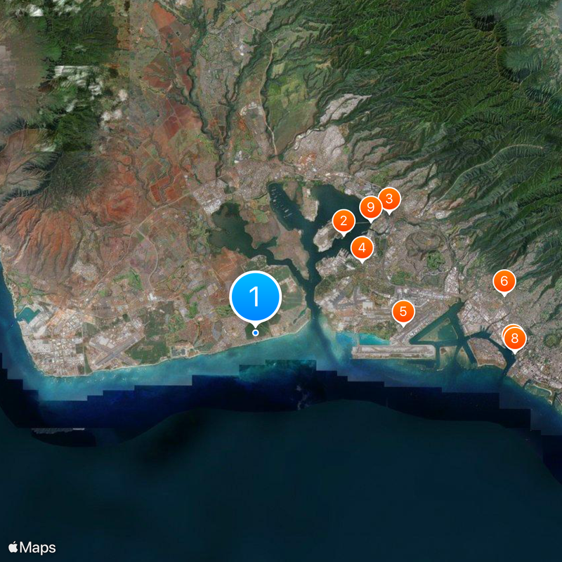
The community of curious travelers

AroundUs brings together thousands of curated places, local tips, and hidden gems, enriched daily by 60,000 contributors worldwide.

Start exploring
Inception
1949
GPS coordinates
21.31500,-157.99889
Latest update
December 20, 2025 12:32
Around this place
USS Missouri
United States of America

USS Missouri

7.1 km
Aloha Stadium
United States of America

Aloha Stadium

9.6 km
Naval Station Pearl Harbor
United States of America

Naval Station Pearl Harbor

6.9 km
Hickam Field
United States of America

Hickam Field

7.9 km
Bishop Museum
United States of America

Bishop Museum

13.5 km
Aloha Tower
United States of America

Aloha Tower

13.8 km
Falls of Clyde
United States of America

Falls of Clyde

13.9 km
USS Bowfin
United States of America

USS Bowfin

8.6 km
Admiral Clarey Bridge
United States of America

Admiral Clarey Bridge

8.3 km
Pacific Aviation Museum Pearl Harbor
United States of America

Pacific Aviation Museum Pearl Harbor

6.3 km
Fort Kamehameha
United States of America

Fort Kamehameha

4.2 km
Wet'n'Wild Hawaii
United States of America

Wet'n'Wild Hawaii

9.5 km
Commander in Chief Pacific Fleet Headquarters
United States of America

Commander in Chief Pacific Fleet Headquarters

8.4 km
Hawaiian Railway Society
United States of America

Hawaiian Railway Society

5.2 km
Hawaii Kotohira Jinsha – Hawaii Dazaifu Tenmangu
United States of America

Hawaii Kotohira Jinsha – Hawaii Dazaifu Tenmangu

13.5 km
Jhamandas Watumull Planetarium
United States of America

Jhamandas Watumull Planetarium

13.5 km
Submarine Memorial Chapel
United States of America

Submarine Memorial Chapel

7.4 km
Hawaii Maritime Center
United States of America

Hawaii Maritime Center

13.9 km
Barbers Point Light
United States of America

Barbers Point Light

11.3 km
Aloha Jewish Chapel
United States of America

Aloha Jewish Chapel

7.8 km
Kaumakapili Church
United States of America

Kaumakapili Church

13.7 km
United States Immigration Office
United States of America

United States Immigration Office

13.8 km
C. Brewer Building
United States of America

C. Brewer Building

13.8 km
Kakaako Pumping Station
United States of America

Kakaako Pumping Station

13.9 km
Waimalu Shopping Center
United States of America

Waimalu Shopping Center

9.4 km
Waipahu Theater
United States of America

Waipahu Theater

7.9 km
Zamboanga Theatre
United States of America

Zamboanga Theatre

13.8 km
Sharkey Theater
United States of America

Sharkey Theater

7.4 km
Show the full map
Reviews
Share your experience

No review yet

Discussions
Start a discussion...

No discussion yet

« Pacific Tsunami Warning Center - Tsunami warning system in Ewa Beach, Hawaii, United States » is provided by Around Us (aroundus.com). Images and texts are derived from Wikimedia project under a Creative Commons license. You are allowed to copy, distribute, and modify copies of this page, under the conditions set by the license, as long as this note is clearly visible.

Discover hidden gems everywhere you go!

From secret cafés to breathtaking viewpoints, skip the crowded tourist spots and find places that match your style. Our app makes it easy with voice search, smart filtering, route optimization, and insider tips from travelers worldwide. Download now for the complete mobile experience.

Around Us App Screenshot

A unique approach to discovering new places

Le Figaro

All the places worth exploring

France Info

A tailor-made excursion in just a few clicks

20 Minutes

Around Us
Travel Guide & Maps
Download

Send to your phone

QR Code
1

Open the camera app on your mobile.

2

Point at the QR code with your camera. A notification will appear.

3

Tap the notification to open the link.