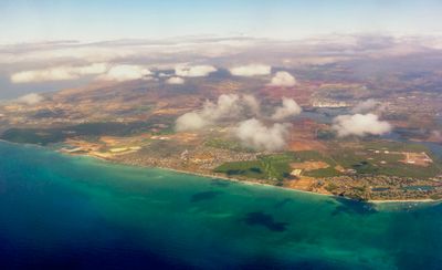
ʻEwa Beach, Coastal census-designated place in Honolulu County, United States
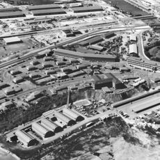
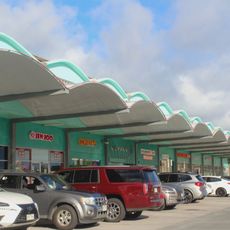
ʻEwa Beach is a residential area stretching along Mamala Bay on the leeward side of Oahu. The district combines coastal location with nearby neighborhoods, forming a community that looks toward the Pacific Ocean.
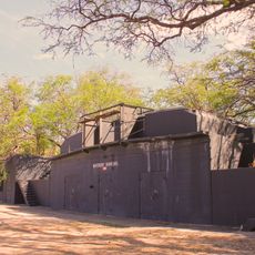
The area began as farmland in the late 1800s before converting into a residential district over time. This shift from agricultural use to community housing shaped how the region looks and functions today.
The name comes from Hawaiian tradition and references a story about how territorial boundaries were once decided. Visitors can feel this connection to local identity throughout the neighborhoods and in how people speak about their home.
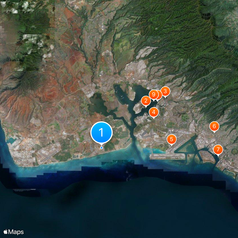
Fort Weaver Road is the main street connecting this area to other parts of the island and the H-1 freeway. Morning and afternoon hours offer the most comfortable time to explore, as roads are lighter and weather remains steady.
A major tsunami warning center operates here, continuously monitoring seismic activity across the Pacific Ocean. This scientific facility works around the clock to alert coastal communities about potential natural hazards.
The community of curious travelers
AroundUs brings together thousands of curated places, local tips, and hidden gems, enriched daily by 60,000 contributors worldwide.