
Point Tilman, cliff in Yukon–Koyukuk Census Area, United States of America
Location: Yukon-Koyukuk Census Area
GPS coordinates: 65.17500,-151.48333
Latest update: March 24, 2025 17:21
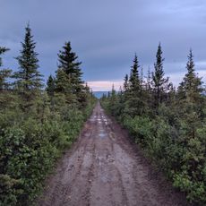
Stampede Trail
167 km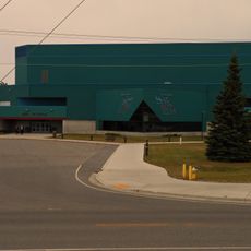
Carlson Center
178.8 km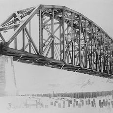
Mears Memorial Bridge
132.3 km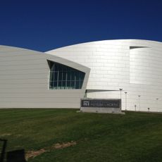
University of Alaska Museum of the North
174.7 km
E. L. Patton Yukon River Bridge
112.9 km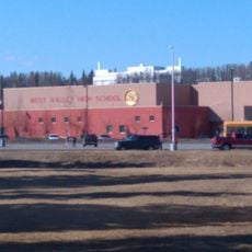
West Valley High School
175.7 km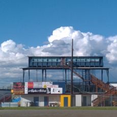
Growden Memorial Park
179 km
White Mountains National Recreation Area
172.4 km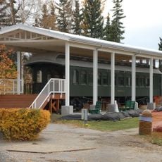
Harding Railroad Car
178.6 km
Creamer's Field Migratory Waterfowl Refuge
179.5 km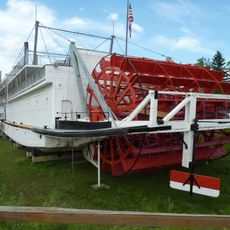
Nenana
178.5 km
Kanuti National Wildlife Refuge
139.1 km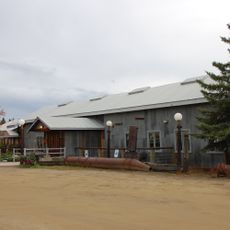
Chena Pump House
173.5 km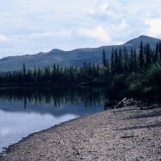
Nowitna National Wildlife Refuge
131.6 km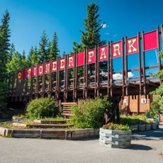
Pioneer Park
178.4 km
Georgeson Botanical Garden
174 km
Elmer E. Rasmuson Library
175.8 km
Lower East Fork Ranger Cabin No. 9
169.1 km
Sushana River Ranger Cabin No. 17
174.3 km
Constitution Hall
175.7 km
Kanuti River
116.9 km
John Trigg Ester Library
167 km
Wickersham House
178.6 km
Rainey's Cabin
175.2 km
Lower Toklat River Ranger Cabin No. 18
163.4 km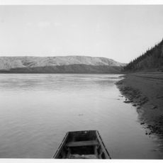
Rampart Canyon
29.8 km
Dall River
146.3 km
Tolovana River
120.2 kmReviews
Visited this place? Tap the stars to rate it and share your experience / photos with the community! Try now! You can cancel it anytime.
Discover hidden gems everywhere you go!
From secret cafés to breathtaking viewpoints, skip the crowded tourist spots and find places that match your style. Our app makes it easy with voice search, smart filtering, route optimization, and insider tips from travelers worldwide. Download now for the complete mobile experience.

A unique approach to discovering new places❞
— Le Figaro
All the places worth exploring❞
— France Info
A tailor-made excursion in just a few clicks❞
— 20 Minutes