Chest opened
+${chestReward.xp} XP
Explorer
NOUVEAU ×${chestReward.collectible.quantity}
tapez pour fermer
Chest locked

Open chests in the app

Around Us is built for your phone — chests unlock when you walk, explore and capture nearby places.

Enable Location

We need your location to show you interesting places around you

Discover nearby places

Find interesting locations and hidden gems around you

Precise directions

Get accurate directions and distances to places

Your location is never shared with other users. It's only used when you tap the location button.

Bonita

Log in to your account

Start exploring — it's free

Trusted by 72,876 travelers worldwide

Continue with Google
Continue with Apple
or

We will send you a code to connect

By continuing, you accept our Terms and Conditions and our Privacy Policy

Check your inbox

We've sent a pincode in your inbox. Please enter the code below.

Discussion Reviews 1 Photos
27.6k Popularity

Bonita, Residential community in San Diego County, United States.

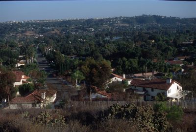
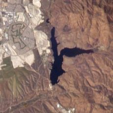
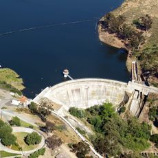
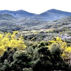
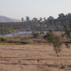
Bonita is a residential community in San Diego County located between Chula Vista and National City. The area combines suburban neighborhoods with open natural spaces at an elevation of roughly 36 meters (118 feet).

The land was originally home to the Kumeyaay people, who called it Apusquel before Spanish colonization began with Mission San Diego de Alcalá. European settlement in the late 1800s later brought agricultural development to the region.

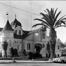
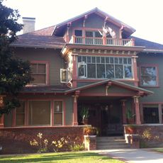
Glen Abbey Memorial Park earned historic district status in 2007 and stands as one of three such places in unincorporated San Diego County. The designation reflects how the community values its past and identity.

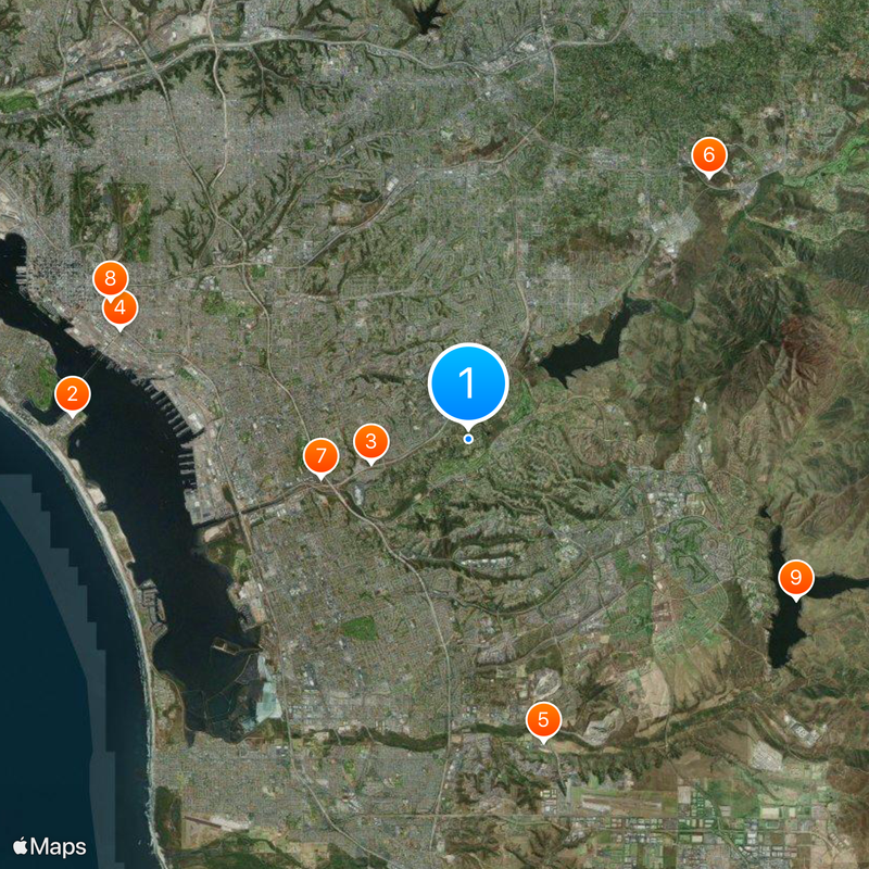
The area connects to nearby regions through State Route 125 and is served by Chula Vista Elementary School District. Its location between larger communities makes it easy to visit and explore nearby attractions in the greater region.

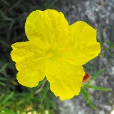
Henry Ernest Cooper Sr. founded a ranch in 1884 that produced the Bonnie Brae Lemon variety, marking the start of agricultural focus in the area. This distinctive citrus became tied to the community's early growth.

The community of curious travelers

AroundUs brings together thousands of curated places, local tips, and hidden gems, enriched daily by 60,000 contributors worldwide.

Start exploring
Location
Elevation above the sea
36 m
GPS coordinates
32.67000,-117.03000
Latest update
December 20, 2025 13:33
Around this place
Naval Base Coronado
United States of America

Naval Base Coronado

12 km
United States of America

Cerutti Mastodon site

3.1 km
Chicano Park
United States of America

Chicano Park

11.1 km
North Island Credit Union Amphitheatre
United States of America

North Island Credit Union Amphitheatre

9.4 km
Skyline Church
United States of America

Skyline Church

10.8 km
Cornerstone Church of San Diego
United States of America

Cornerstone Church of San Diego

4.6 km
Villa Montezuma
United States of America

Villa Montezuma

11.7 km
Lower Otay Reservoir
United States of America

Lower Otay Reservoir

11.1 km
Sweetwater Dam
United States of America

Sweetwater Dam

3.2 km
San Diego National Wildlife Refuge
United States of America

San Diego National Wildlife Refuge

10.9 km
San Diego Bay National Wildlife Refuge
United States of America

San Diego Bay National Wildlife Refuge

10.4 km
San Miguel Mountain
United States of America

San Miguel Mountain

9.3 km
Living Coast Discovery Center
United States of America

Living Coast Discovery Center

8.2 km
Sweetwater Reservoir
United States of America

Sweetwater Reservoir

5 km
Switzer Canyon
United States of America

Switzer Canyon

11.7 km
Montgomery Memorial
United States of America

Montgomery Memorial

10.8 km
Hubert H. Bancroft Ranch House
United States of America

Hubert H. Bancroft Ranch House

8.4 km
Granger Hall
United States of America

Granger Hall

5.9 km
Savage Dam
United States of America

Savage Dam

11.9 km
Christian Fellowship Congregational Church
United States of America

Christian Fellowship Congregational Church

7.1 km
Jardín Ahorrador de Agua en el Cuyamaca College
United States of America

Jardín Ahorrador de Agua en el Cuyamaca College

11.9 km
Casa Alfred Haines
United States of America

Casa Alfred Haines

11.5 km
Brick Row
United States of America

Brick Row

7.1 km
South Bay Botanic Gardens
United States of America

South Bay Botanic Gardens

4.5 km
Station and General Office, California Southern Railroad
United States of America

Station and General Office, California Southern Railroad

7.6 km
Museum
United States of America

Museum

11.7 km
Lemon Grove Park
United States of America

Lemon Grove Park

6.7 km
La Mesa Library
United States of America

La Mesa Library

10.7 km
Show the full map
Reviews
Share your experience

No review yet

Discussions
Start a discussion...

No discussion yet

« Bonita - Residential community in San Diego County, United States » is provided by Around Us (aroundus.com). Images and texts are derived from Wikimedia project under a Creative Commons license. You are allowed to copy, distribute, and modify copies of this page, under the conditions set by the license, as long as this note is clearly visible.

Discover hidden gems everywhere you go!

From secret cafés to breathtaking viewpoints, skip the crowded tourist spots and find places that match your style. Our app makes it easy with voice search, smart filtering, route optimization, and insider tips from travelers worldwide. Download now for the complete mobile experience.

Around Us App Screenshot

A unique approach to discovering new places

Le Figaro

All the places worth exploring

France Info

A tailor-made excursion in just a few clicks

20 Minutes

Around Us
Travel Guide & Maps
Download

Send to your phone

QR Code
1

Open the camera app on your mobile.

2

Point at the QR code with your camera. A notification will appear.

3

Tap the notification to open the link.