Prado Dam, Flood control dam in Riverside County, United States.
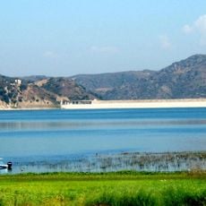
Prado Dam is an embankment dam that crosses the Santa Ana River and holds back water for the region. The structure controls how much water flows downstream and helps manage the supply for multiple counties.
This structure was built in 1941 by the United States Army Corps of Engineers following severe floods in 1938 that showed the need for flood control. The project emerged as a direct response to that disaster.
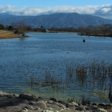
The reservoir behind the dam is called Prado Flood Control Basin and stores water for groundwater recharge operations. The Santa Ana River watershed above the dam covers 2,255 of the watershed's 2,650 square miles. The dam sits in Lower Santa Ana River Canyon at the Chino Hills near Corona, about 7 km from the city.
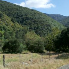
The dam itself is a fenced flood-control structure with no public access, so it is viewed from outside rather than explored on foot. The reservoir behind it, Prado Flood Control Basin, is the downstream element of the Santa Ana River system, and the surrounding Chino Hills terrain rises to Sierra Peak about 4.6 km to the south.
The dam is a dry structure: its reservoir, the Prado Flood Control Basin, normally holds little water and is used for groundwater recharge. In January 2005, after days of heavy rain, water seeped through an earthen extension; over 3,000 residents downstream were evacuated for nearly 24 hours, and the Corona High School gym became a Red Cross shelter.
The community of curious travelers
AroundUs brings together thousands of curated places, local tips, and hidden gems, enriched daily by 92,632 contributors worldwide.