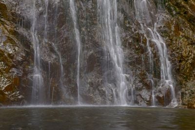
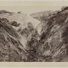
Bonita Falls, Waterfall in San Bernardino National Forest, California.
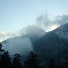
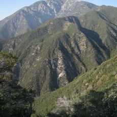
Bonita Falls is a three-tiered waterfall in the San Bernardino National Forest of Southern California, dropping into the lower canyon of Bonita Creek. Each tier falls over steep rock faces, with the lowest tier ending in a natural pool at the base.
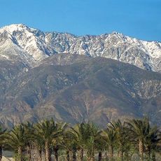
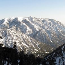
The area around Bonita Falls was incorporated into the San Bernardino National Forest in the early 1900s, opening it up for recreation. Since then, the falls have grown into a regular destination for people from the Los Angeles metro area and the Inland Empire.
Bonita Falls draws locals from the greater San Bernardino area throughout the warmer months, when the canyon offers a cool escape from the surrounding desert heat. The lower tier of the falls is the most visited spot, while the upper tier requires a steeper scramble and sees far fewer people.
A National Forest Adventure Pass is required to park at the trailhead, so it is worth sorting that out before you arrive. Getting there early on weekends is a good idea, as parking fills quickly and reaching the upper tier involves a steep scramble that takes extra time.
Although most visitors only reach the lower tier, the upper drop falls from roughly 200 feet (60 meters), making it one of the tallest single drops in Southern California's mountain ranges. That upper section is not visible from the lower pool, so it comes as a real surprise to those who make the extra climb.
The community of curious travelers
AroundUs brings together thousands of curated places, local tips, and hidden gems, enriched daily by 60,000 contributors worldwide.