Ontario Peak, Mountain summit in San Gabriel Mountains, California, US
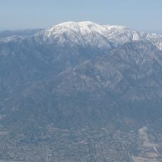
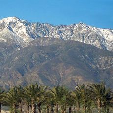
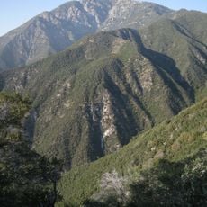
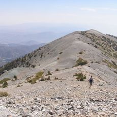
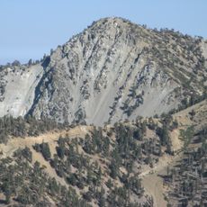
Ontario Peak is a 8,696 ft (2,651 m) summit in the San Gabriel Mountains, within the San Bernardino National Forest and the Cucamonga Wilderness. The Forest Service trail 7W07 climbs from Icehouse Canyon to Icehouse Saddle, then the Ontario Peak Trail continues to the top, a 13-mile round trip with 4,100 feet of gain.
Ontario Peak is named for the city of Ontario, about 12 mi (19 km) due south, not for a Canadian birthplace of the Chaffey brothers. The name first appeared in the United States General Land Office Forest Atlas in 1908. The peak lies in the San Bernardino National Forest, within the Cucamonga Wilderness, beside Cucamonga Peak.
The peak's name comes from the city of Ontario, about 12 mi (19 km) due south, and it first appeared in the United States General Land Office Forest Atlas in 1908. Hikers today follow Forest Service Trail 7W07 from Icehouse Canyon to Icehouse Saddle, then the Ontario Peak Trail to the summit.
The hike takes about seven hours for the complete route and requires substantial water and good physical fitness. Starting early from Icehouse Canyon is important as the trail is demanding and you need adequate time to complete the journey safely.
Ontario Peak first appeared in the United States General Land Office Forest Atlas in 1908, and its name comes from the city of Ontario about 12 miles (19 km) due south. The summit lies in the Cucamonga Wilderness of the San Bernardino National Forest, beside Cucamonga Peak.
The community of curious travelers
AroundUs brings together thousands of curated places, local tips, and hidden gems, enriched daily by 92,786 contributors worldwide.