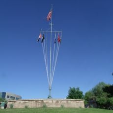
Gila and Salt River meridian, Principal meridian survey marker in Avondale, Arizona.
The Gila and Salt River Meridian is a survey monument set on Monument Hill in the Phoenix area of Arizona. The stone marker, roughly 8 feet (2.5 m) tall, serves as the reference point from which land in much of Arizona and New Mexico was divided and mapped.
The meridian was established in 1851 as part of the survey work that followed the US-Mexico boundary agreement. It became the baseline for organizing Arizona's territorial land into the grid system that still shapes property boundaries today.
The meridian marks where different land territories meet, including the Gila River Indian Community reservation, public parkland, and residential areas. This intersection point reflects how boundaries established long ago still shape land use patterns across the region today.
The marker sits on a raceway property, so access depends on whether the facility is open on the day you plan to visit. Checking ahead before making the trip is a good idea, since entry is not always guaranteed.
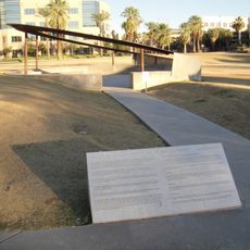
The stone features colored tiles set into its surface that mark the exact directions of the baseline and the meridian. These tiles show how surveyors organized the land into a coordinate grid rather than simply placing a boundary stone.
The community of curious travelers
AroundUs brings together thousands of curated places, local tips, and hidden gems, enriched daily by 60,000 contributors worldwide.