
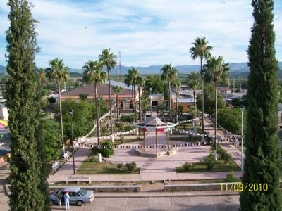
Bacadéhuachi, settlement in Sonora, Mexico
Location: Bacadéhuachi
Inception: 1645
Founders: Cristóbal García
Website: http://bacadehuachi.gob.mx
GPS coordinates: 29.80917,-109.14361
Latest update: March 14, 2025 08:38
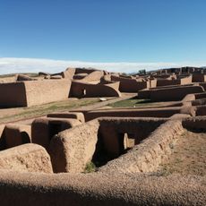
Casas Grandes
130.7 km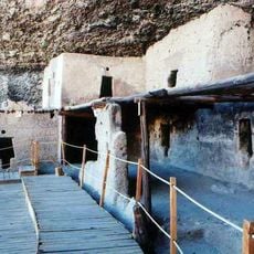
Cuarenta Casas
98.4 km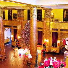
Gadsden Hotel
175.5 km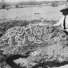
Esperanza Stone
139.3 km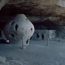
Cueva de la Olla
88.5 km
San Bernardino Ranch
170.5 km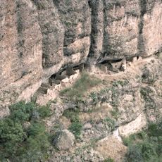
Huápoca
103.8 km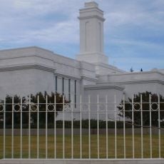
Colonia Juárez Chihuahua México Temple
116.2 km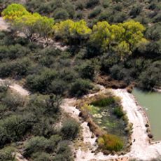
San Bernardino National Wildlife Refuge
171.7 km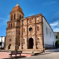
Temple of Our Lady of Assumption
114.6 km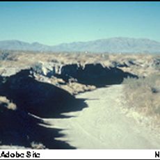
Double Adobe Site
175.5 km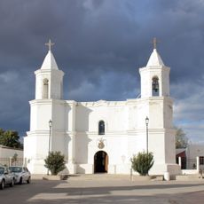
Templo de San Pedro y San Pablo
104.9 km
Parroquia de Guadalupe en Cananea Sonora
172 km
Plaza Azueta
173.9 km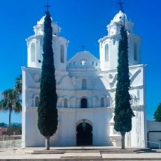
Our Lady of Loreto Church
211 m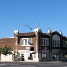
Douglas Historic District
175.5 km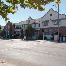
El Paso and Southwestern Railroad YMCA
175.4 km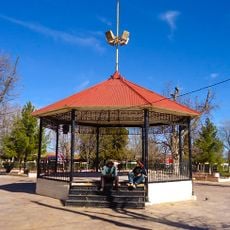
Plaza Juárez
171.9 km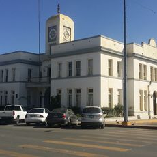
Cananea city hall
171.7 km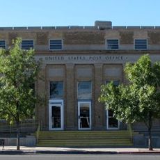
United States Post Office and Customs House–Douglas Main
175.4 km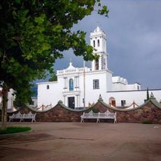
Temple of Our Lady of Assumption of Mary
64.2 km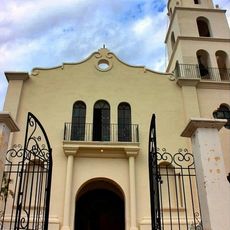
Temple of Our Lady of Los Remedios
106 km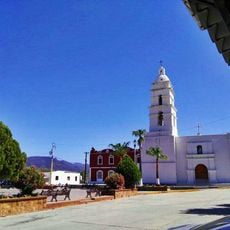
Temple of Our Father of Saint Ignatius of Loyola
95.3 km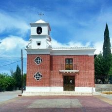
Temple of Saint Michael the Archangel
121.3 km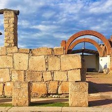
Ruins of the temple of the Holy Kings
161.3 km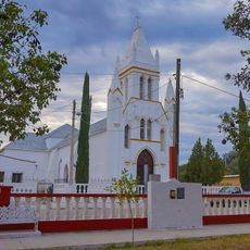
Temple of Saint Michael the Archangel
77.2 km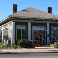
Douglas Residential Historic District
175.2 km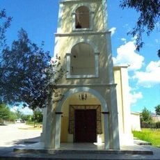
Temple of the Lord of Retirement
97.2 kmVisited this place? Tap the stars to rate it and share your experience / photos with the community! Try now! You can cancel it anytime.
Discover hidden gems everywhere you go!
From secret cafés to breathtaking viewpoints, skip the crowded tourist spots and find places that match your style. Our app makes it easy with voice search, smart filtering, route optimization, and insider tips from travelers worldwide. Download now for the complete mobile experience.

A unique approach to discovering new places❞
— Le Figaro
All the places worth exploring❞
— France Info
A tailor-made excursion in just a few clicks❞
— 20 Minutes